
Roadtrip 2017 – Exploring The West – Day 10 – July 19th – Part 2:
I really enjoyed visiting Mount Saint Helens. There is some amazing history there, and Mother Nature has restored much of its beauty. But Mount Rainier was about to grace us with even more beauty.
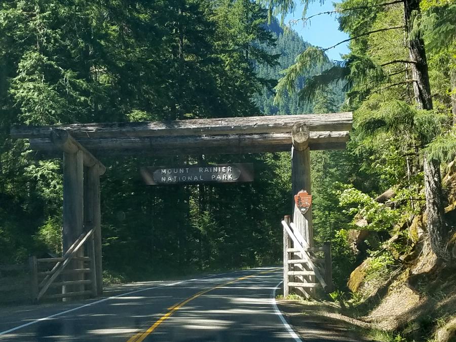
We backtracked down SR 504 to SR 505, and then crossed the Jackson Highway to US 12. I had wanted to visit the ‘miners car’ and the Windy Ridge area of Mount Saint Helens, but it was closed off. Heading east on US 12 brought us to SR 123, and we followed that north to Mount Rainier.
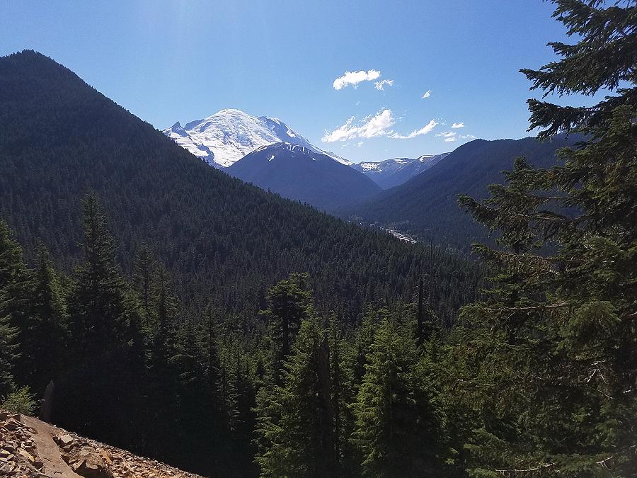
Ascending to 14,410 feet above sea level, Mount Rainier stands as an icon in the Washington landscape. An active volcano, Mount Rainier is the most glaciated peak in the contiguous U.S.A.
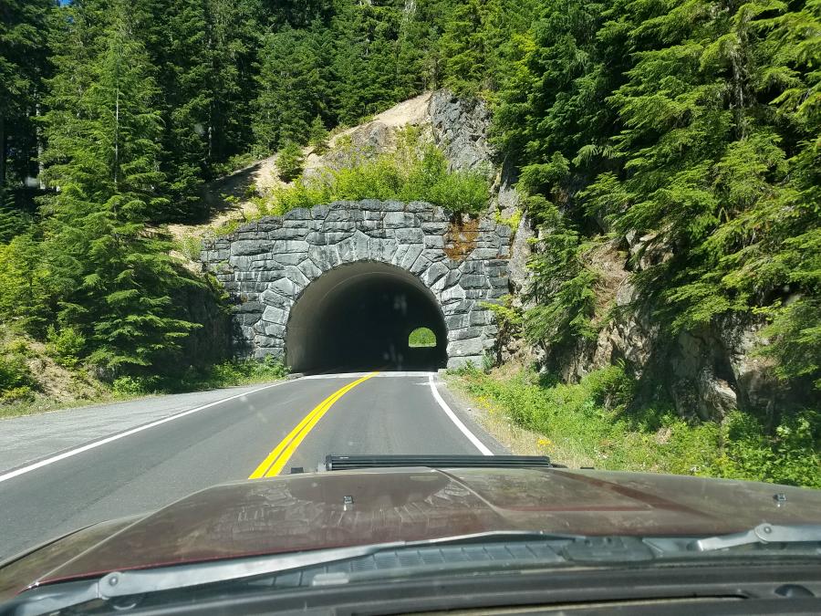
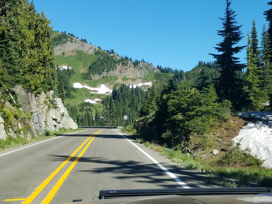
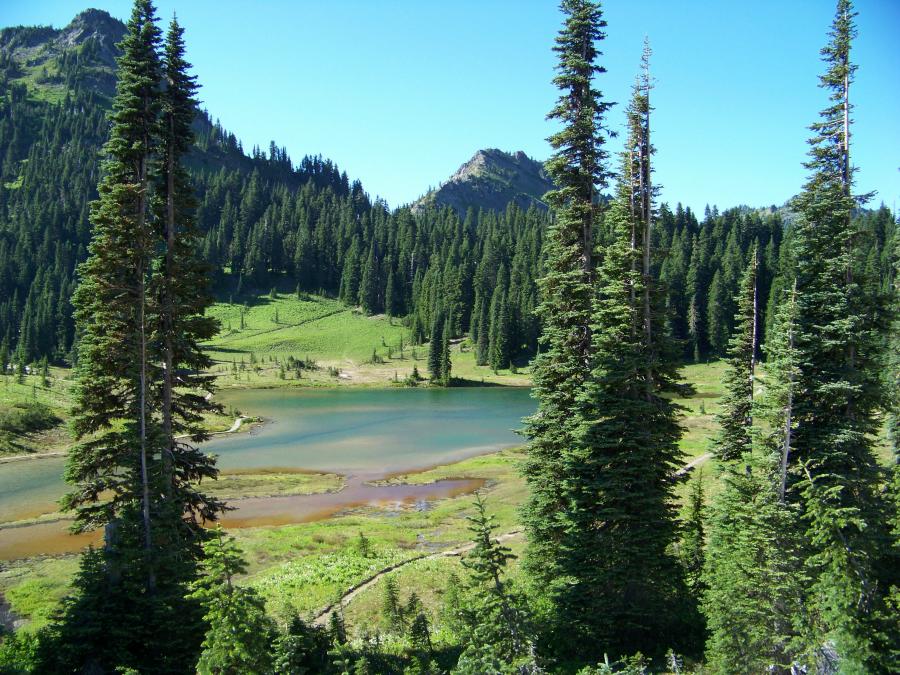
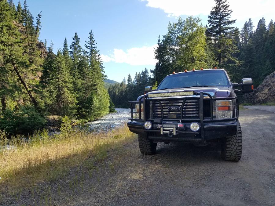
Mount Rainier is a beautiful area, but there isn’t very many places to pull off of the road. I did manage to spot a small gravel area along the side of the road to get the photo below.
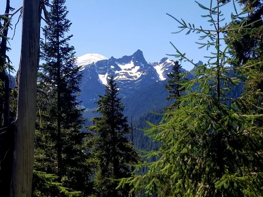
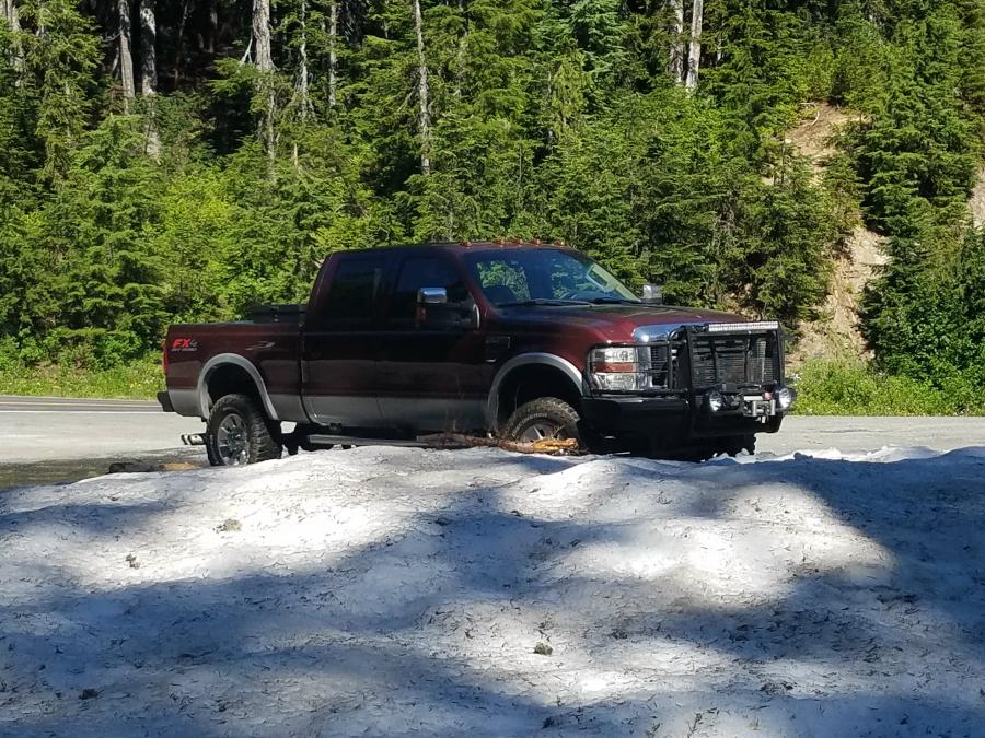
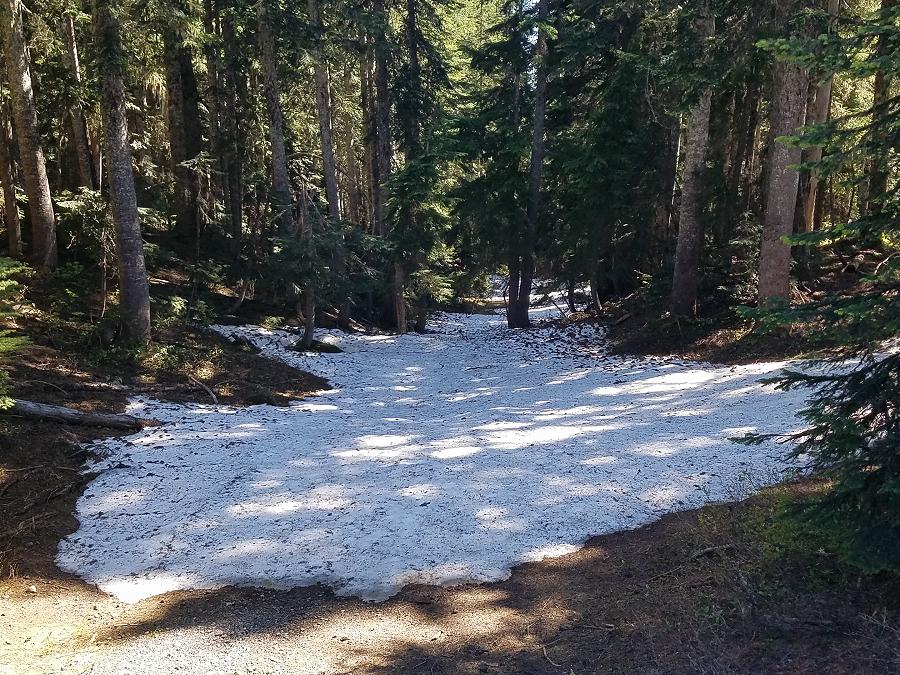
There wasn’t much more to see until we approached the intersection of SR 410 at Cayuse Pass. Just before the intersection we found a place to pull off that still had snow on the ground. 70 degrees and snow – my kind of winter!
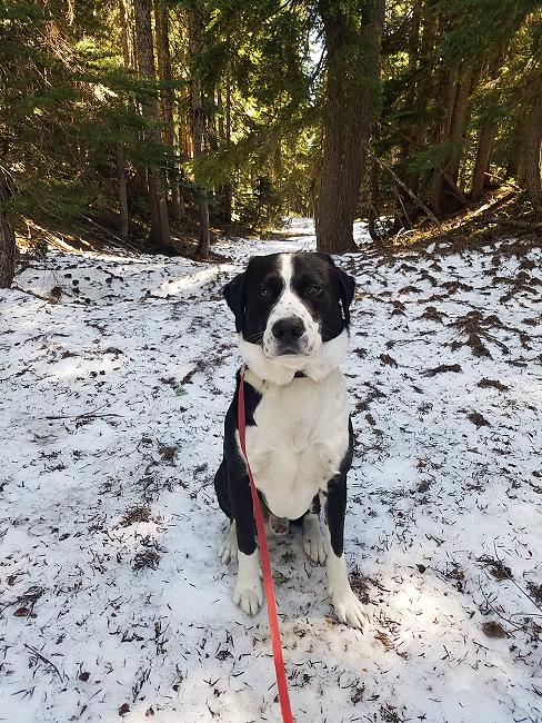
Marley and I got out and played in the snow for a while.
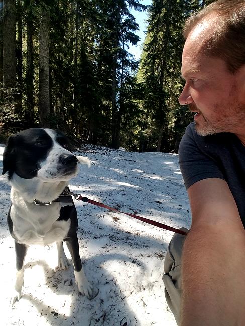
What do you mean you don’t want to take a selfie with me??
No, you’re not camouflaged with the snow. Yes, I’m positive people can still see you. Can we go now?
We continued north on to SR 410, (Mather Memorial Parkway) and followed that to the north end of the park. We stopped once to take a photo.
There wasn’t much to see on this route, and I was starting to get concerned about my fuel level. The town of Greenwater is at the north end of the park, but there wasn’t a gas station there. I really didn’t want to continue north. My trucks navigation system can tell me where the closest fuel is, and what the prices are. I was hoping the distance to a station was being measured in actual driving miles, and not a straight line distance. I decided that I would have enough fuel to backtrack past SR 123, and continue on SR 410 east. If not, I carry a 5-gallon can of fuel in the bed of my truck for emergencies.
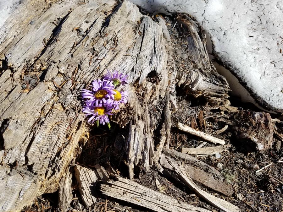
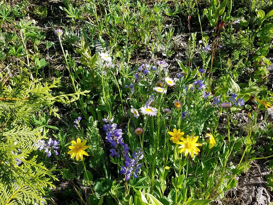
After crossing SR 123 we came to Naches Peak and Tipsoo Lake. This is a beautiful area with a comfort station providing a place to park, restrooms, and hiking trails. I battled with the sun as I tried to take photos. Here are the best ones I could get…
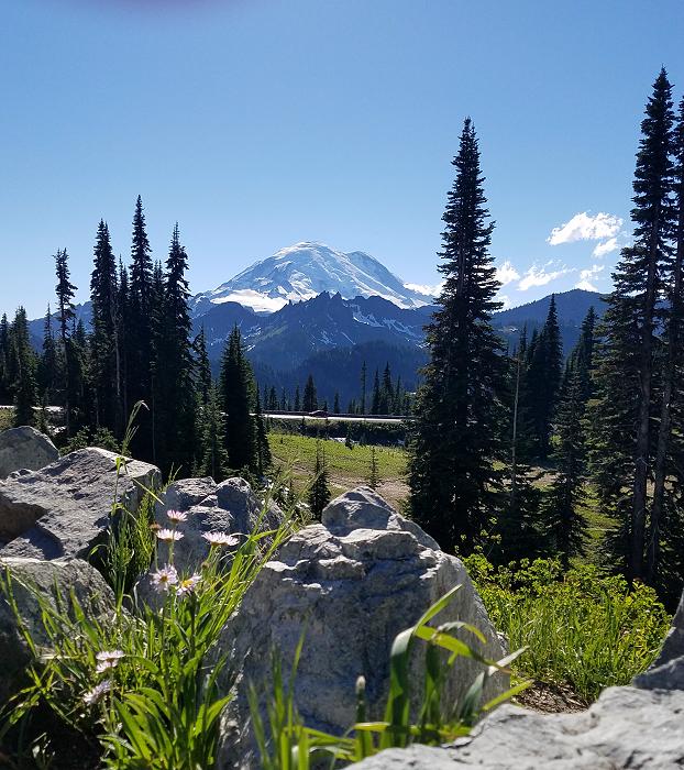
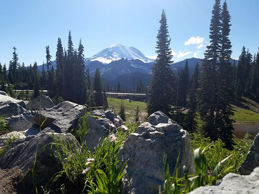
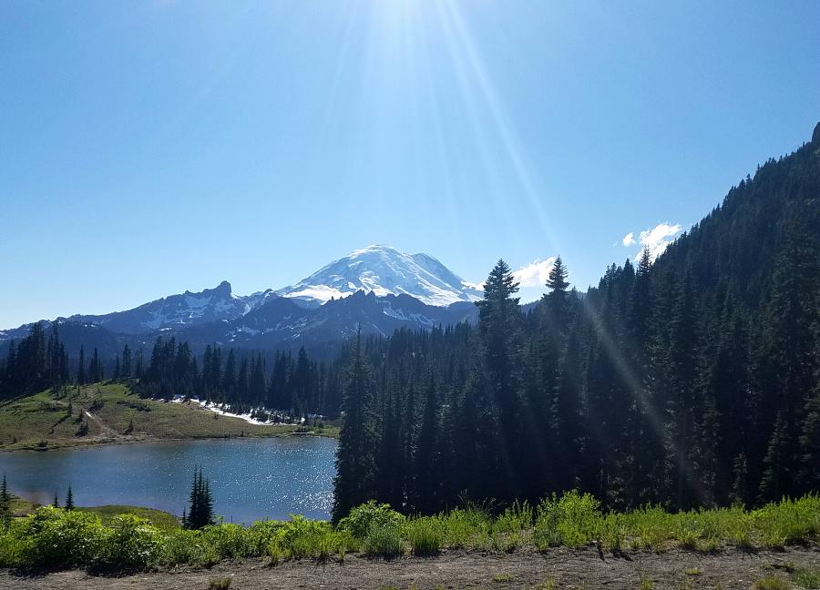
I’ve discovered that no matter how beautiful nature looks in photos, it’s always more amazing in person.
And you should always take a moment to enjoy the flowers that decorate the landscape.
Finally, it was time to head east off of the mountain.
On the way down SR 410 I came across the ‘Whistlin’ Jack Lodge’. And as luck would have it, they had a diesel pump out front. I fueled up the truck, grabbed a drink and a snack for Marley and I, and continued our way east.
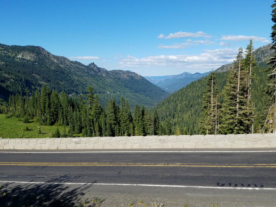
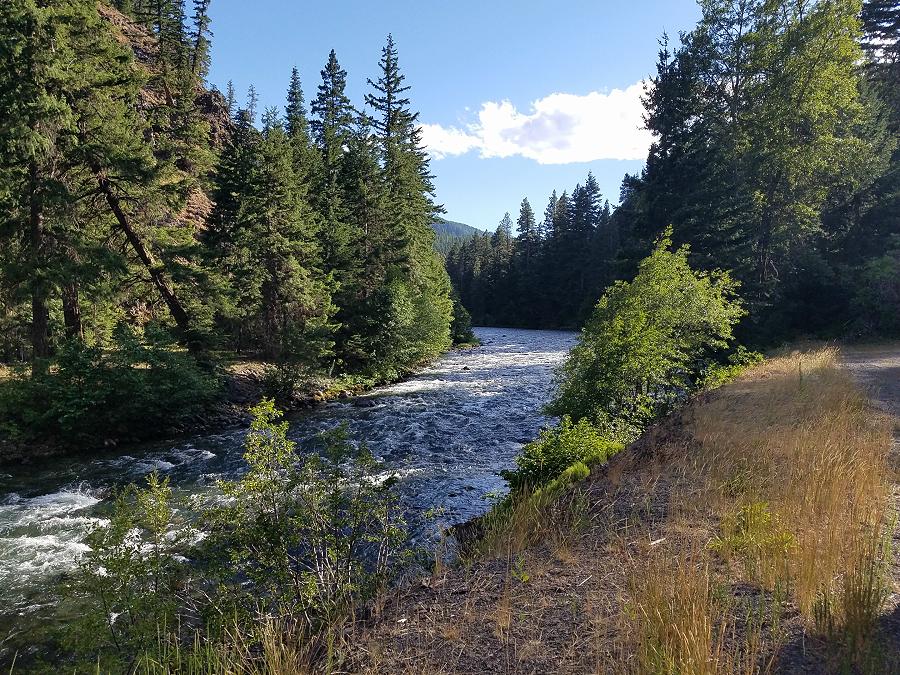
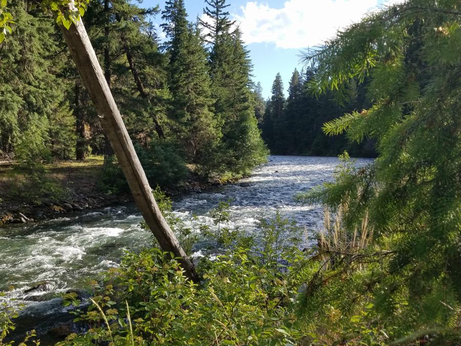
The Bumping River follows SR 410, and the surrounding hills and forest makes for beautiful scenery.
SR 410 lead us back to US 12 and Yakima. From Yakima, I continued my route east by following SR 24. It was now dark, but you could tell that there wasn’t anything around for miles.
The Hanford Site:
I eventually came to an intersection with a security gate in front of me. It was odd because there was literally nothing else in sight. I made a left turn to continue on SR 24, and came across a rest area to pull in to. After using the facilities and walking Marley, I used Google maps to try and figure out why that gate was there.
After some quick searching, I found that I was parked next to the Columbia River, and across from the Hanford Site. The Hanford Site is 586 square miles.
Ok, what’s the Hanford Site? The Hanford Site is the first full-scale plutonium production nuclear reactor in the world. It was part of the Manhattan Project, and the production of the nuclear bombs dropped on Japan.
During the Cold War, the project expanded to include nine nuclear reactors and five large plutonium processing complexes, which produced plutonium for most of the more than 60,000 nuclear weapons built for the U.S.
The last reactor here shut down in 1987, and decades of manufacturing left behind 53 million US gallons of high-level radioactive waste stored within 177 underground storage tanks, an additional 25 million cubic feet of solid radioactive waste, and 200 square miles of contaminated groundwater beneath the site.
The Hanford Site is home to 60% (by volume) of all of the high level radioactive waste stored in the United States. Nearly 80% of the Department of Energy’s inventory of spent nuclear fuel rods are stored just 400 yards away from the Columbia River.
And if all that doesn’t sound scary enough, 60 of the 177 underground storage tanks are leaking. Radiation has been found in the Columbia River all the way to the Pacific coast. They’ve even found highly radioactive rabbits here.
Time to get the heck out of here!
I was here at night, but below is a Google Maps photo of the gate going in to the Hanford Site.
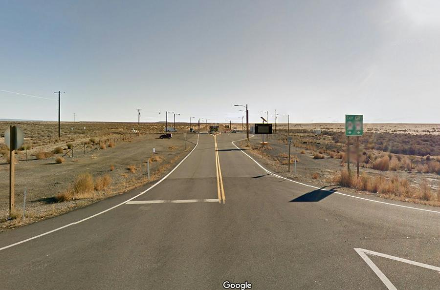
(Hanford Site Gate – Google Maps image)
We continued east on SR 24 until we came to SR 26, and then continued east on that to US 395. We turned north on US 395 and went to IS-90, and then took that east for about a 1/2 mile to SR 261. There is a Love’s Travel Stop (truck stop) on SR 261 at IS-90, and my plan is to park there for the night and get some sleep.
It’s been an interesting day. It started out by exploring an area that was devastated by a volcano eruption. Then we crossed a mountain and enjoyed beautiful scenery. And finally, we stumbled across a nuclear waste nightmare in the middle of the night – in the middle of nowhere.
How exciting. Time to grab some sleep. I’m not sure why my dog is glowing green….but he makes a nice night light.
Tomorrow we head for Montana!
Oh, and I should probably take a shower 🙂
Links:
Roadtrip 2017 – Exploring The West – Main Page
Roadtrip 2017 – Exploring The West – Day 11 & 12
About The Author
Growing up, my father always believed that every family needed a truck—there’s just something about having a vehicle capable of hauling anything at a moment’s notice. That philosophy stuck with me, and it’s been the foundation of my lifelong passion for Ford trucks.
While I’m best known for my work with Ford Rangers, I’ve owned a wide variety of Ford trucks over the years—including F-150s, F-250s, F-350s, and even larger rigs like the Ford Excursion, Ford Expedition, and a 1982 Ford Econoline Sportsmobile camper van. I’ve used these vehicles for everything from family transportation to towing car trailers and campers, and each one has fueled my love for Ford’s versatility and durability.
I especially enjoy the styling of 1970s and 1980s Ford trucks—the bold designs, rugged presence, and classic charm are timeless. Sharing my passion for Ford trucks, vans, and SUVs with other enthusiasts online brings me a great deal of joy, and it’s why I created Blue Oval Trucks.
This website is dedicated to helping Ford truck enthusiasts explore, learn about, and celebrate these incredible vehicles. While I share my expertise and experiences here, Blue Oval Trucks is an independent enthusiast site and is not affiliated with Ford Motor Company.