
Roadtrip 2017 – Exploring The West – Day 13 – July 22nd
After enjoying two days around Troy Montana, Marley and I continued our way east towards Glacier National Park.
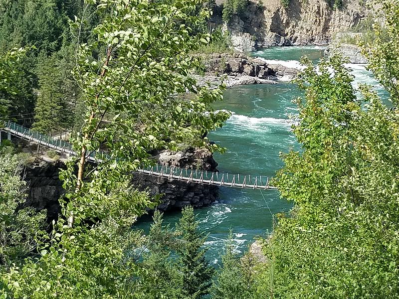
When you head east out of Troy, you pass the Kootenai Falls Swinging Bridge. I stopped and took a photo, but I didn’t bother to walk down to it. With it being right along the main highway, it gets a lot of visitors. It obviously wasn’t some place I was going to take Marley, and I preferred to keep moving.
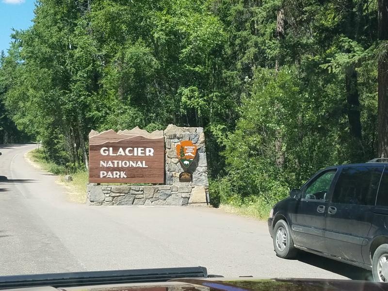
We continued east on US 2 until we finally got to West Glacier and the ‘Going To The Sun Road’ (GTTSR). Once you turn on to GTTSR you enter an area with gift shops, restaurants, post office, and a visitor center. There’s even an Amtrak train station here along US 2.
After stopping to buy some souvenirs, we headed north on GTTSR and entered the park. I was a bit surprised when I had to pay a $30 entrance fee. I’m use to visiting the Smokey Mountain National Park that doesn’t charge an entrance fee.
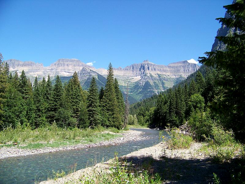
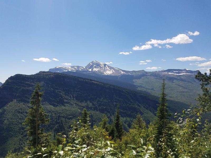
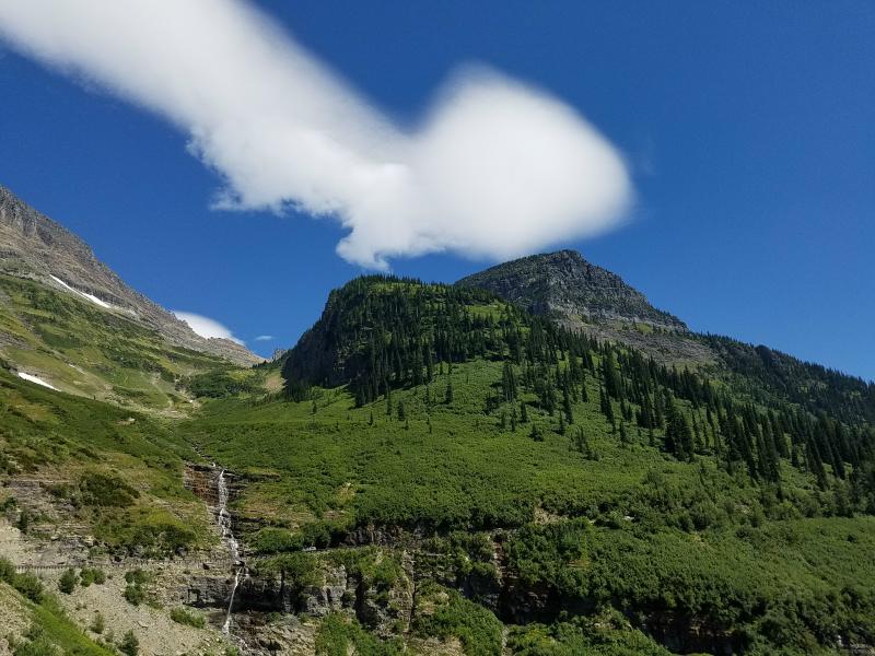
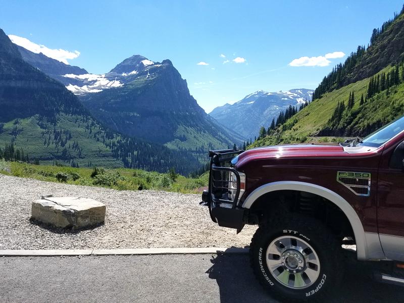
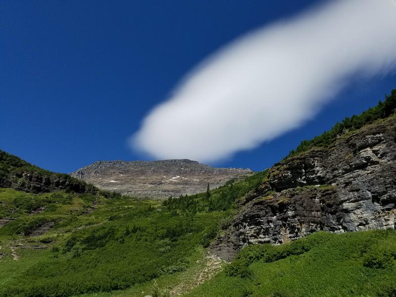
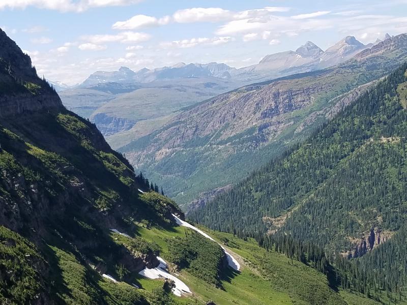
We would follow GTTSR across the park, and then exit on to US 89 on the east side of the park. The GTTSR is 50-miles long, and without stopping, takes 2-hours to travel.
About Glacier National Park:
In 1885 George Bird Grinnell hired noted explorer (and later well regarded author) James Willard Schultz to guide him on a hunting expedition into what would later become the park. After several more trips to the region, Grinnell became so inspired by the scenery that he spent the next two decades working to establish a national park. In 1901 Grinnell wrote a description of the region in which he referred to it as the “Crown of the Continent”.
In 1891 the Great Northern Railway crossed the Continental Divide at Marias Pass 5,213 feet, which is along the southern boundary of the park. In an effort to stimulate use of the railroad, the Great Northern soon advertised the splendors of the region to the public. The company lobbied the United States Congress. In 1897 the park was designated as a forest preserve.
In 1910, under the influence of the Boone and Crockett Club, spearheaded by Club members George Bird Grinnell, Henry L. Stimson, and the railroad, a bill was introduced into the U.S. Congress which redesignated the region from a forest reserve to a national park. This bill was signed into law by President William Howard Taft on May 11, 1910.
By 1932 work was completed on the Going-to-the-Sun Road, later designated a National Historic Civil Engineering Landmark, which provided greater accessibility for automobiles into the heart of the park.
As the Crown of the Continent, Glacier is the headwaters for streams that flow to the Pacific Ocean, the Gulf of Mexico, and to Hudson’s Bay. What happens here affects waters in a huge section of North America.
What is a Glacier? A glacier is a persistent body of dense ice that is constantly moving under its own weight; it forms where the accumulation of snow exceeds its melting over many years, often centuries. Glaciers slowly deform and flow due to stresses induced by their weight, creating crevasses, seracs (blocks of ice the size of a house), and other distinguishing features. They also abrade rock and debris from their substrate to create landforms such as cirques and moraines. Glaciers form only on land and are distinct from the much thinner sea ice and lake ice that form on the surface of bodies of water.
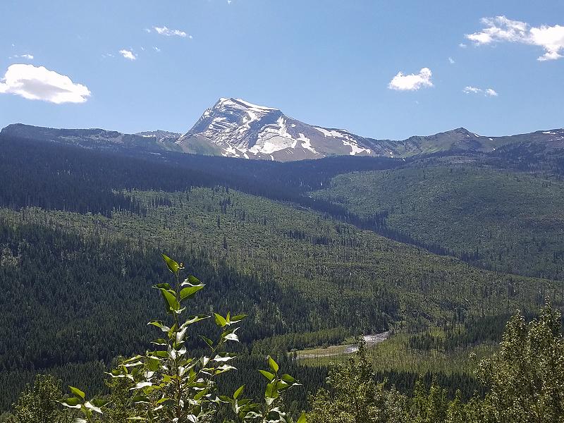
Of the estimated 150 glaciers which existed in the park in the mid-19th century, only 25 active glaciers remained by 2010. Scientists studying the glaciers in the park have estimated that all the glaciers may disappear by 2030 if current climate patterns persist.
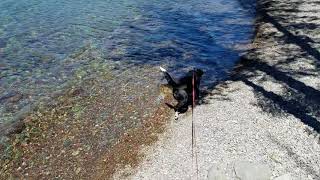
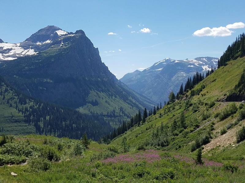
We were able to find a place to pull off so we could walk around and check out Lake McDonald. The view here is beautiful. I struggled taking photos because it was still early in the day, and I had to deal with the sun.
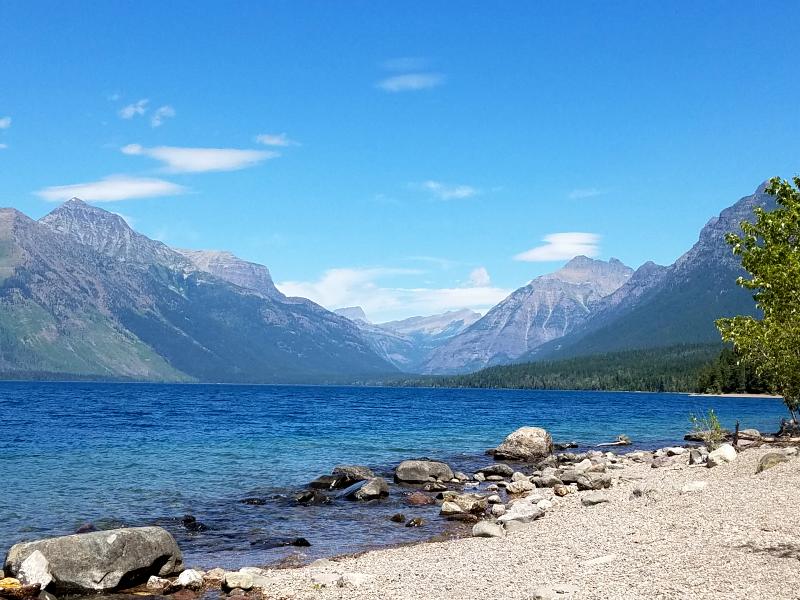
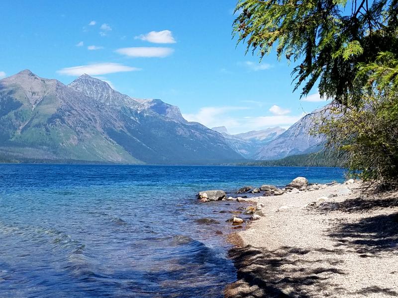
Marley really enjoys playing with the water.

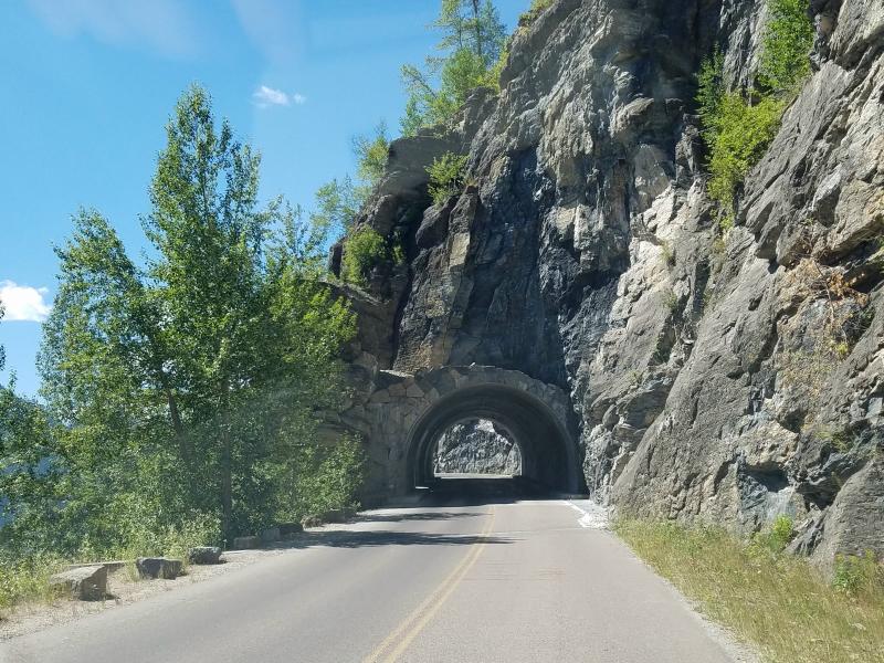
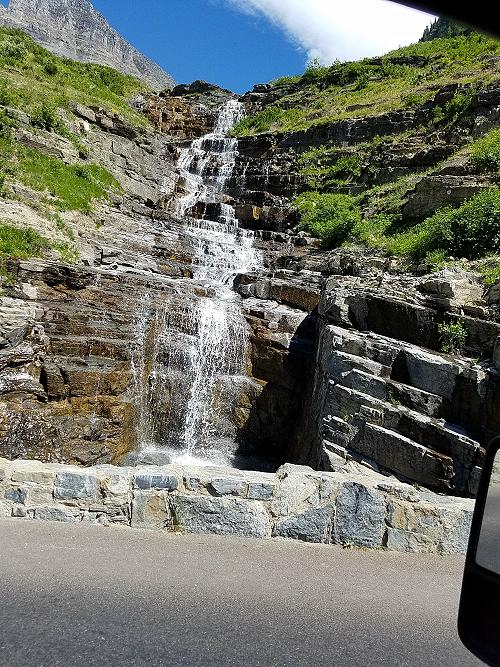
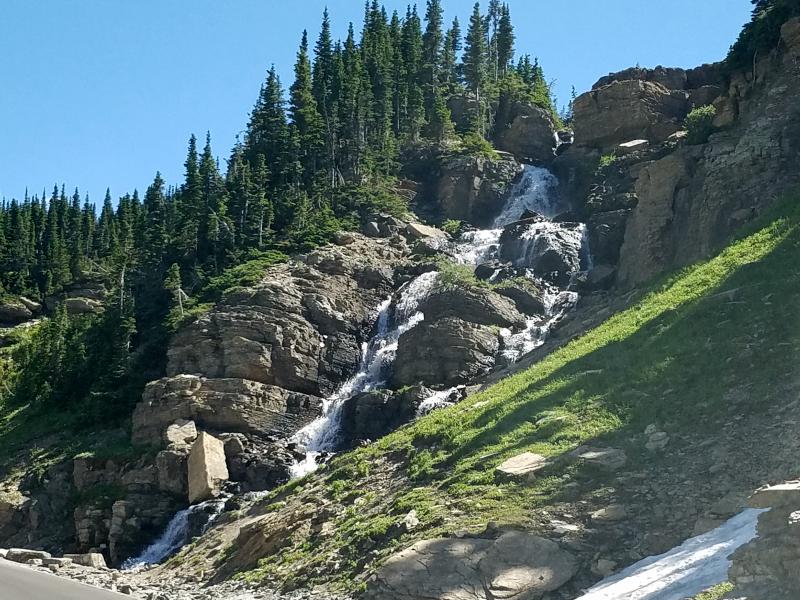
You have to watch for the rocks that protrude in to the road.
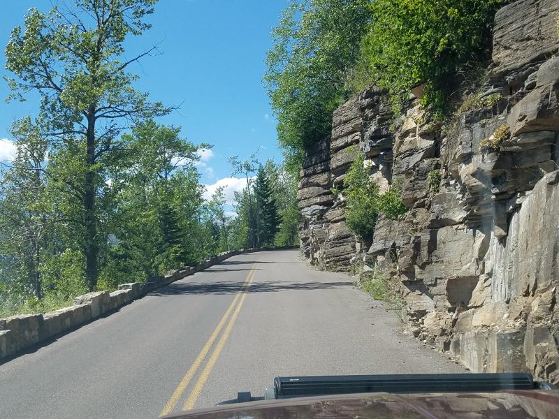
And you’ll pass through two tunnels on this road.
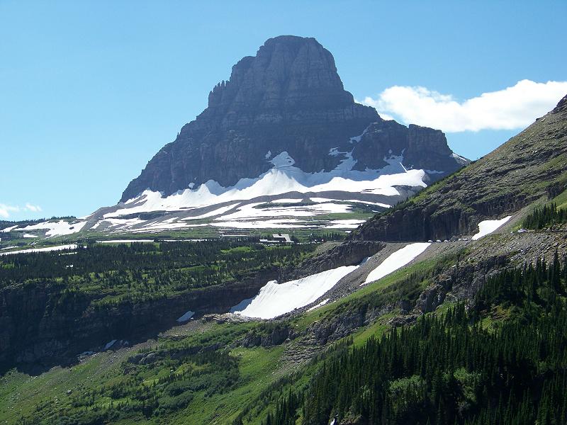
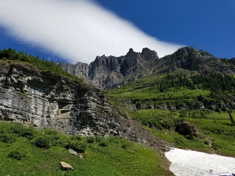
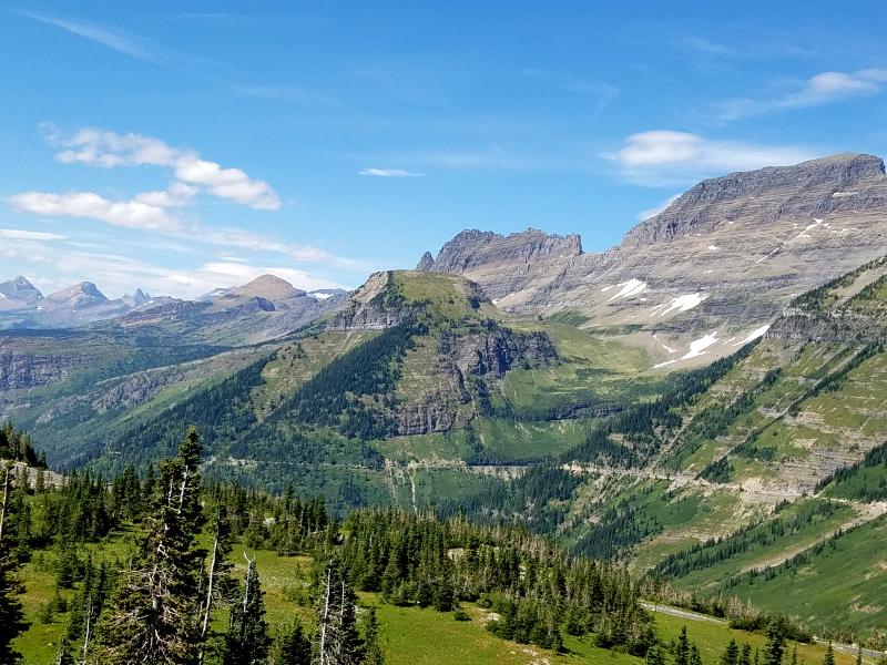
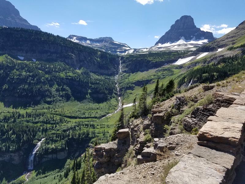
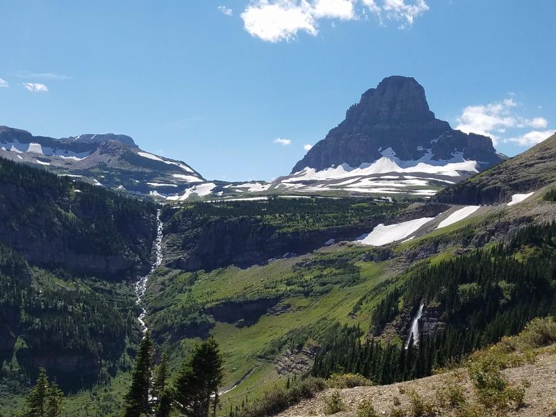
Logan Pass…..
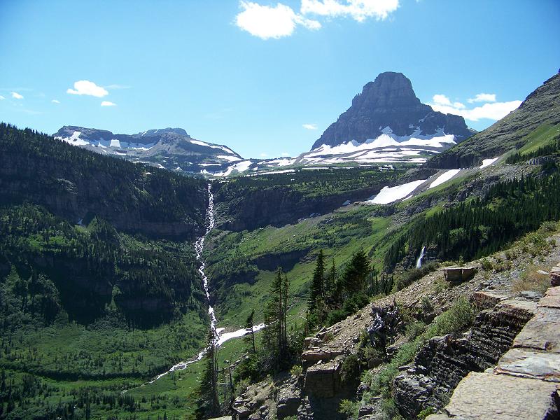
Logan Pass is the highest point on Going-to-the Sun Road at 6,646 feet.

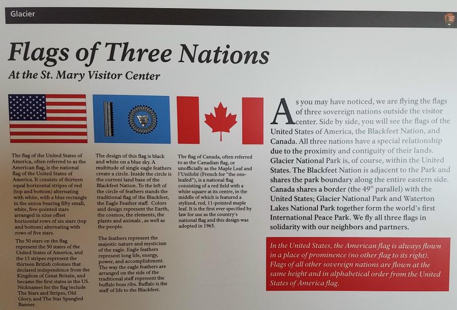
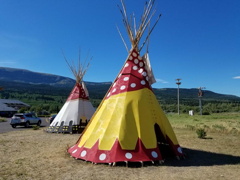
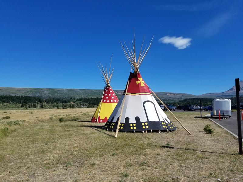
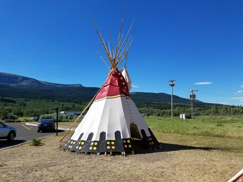
We stopped at the Saint Mary Visitor Center at the east end of the park. I walked Marley so he could get out and stretch, and then went inside to use the restroom. I also checked out the gift shop while I was there. The visitor center flies a United States Flag, Canadian Flag, and a Blackfoot Nation flag above it. Glacier National Park borders Canada’s Waterton Lakes National Park and forms the 1st international peace park. The Blackfeet Indian Reservation borders the east side of the park, and covers 3,000 square miles.
The Blackfeet Nation has two tee-pees on display outside of the visitor center.
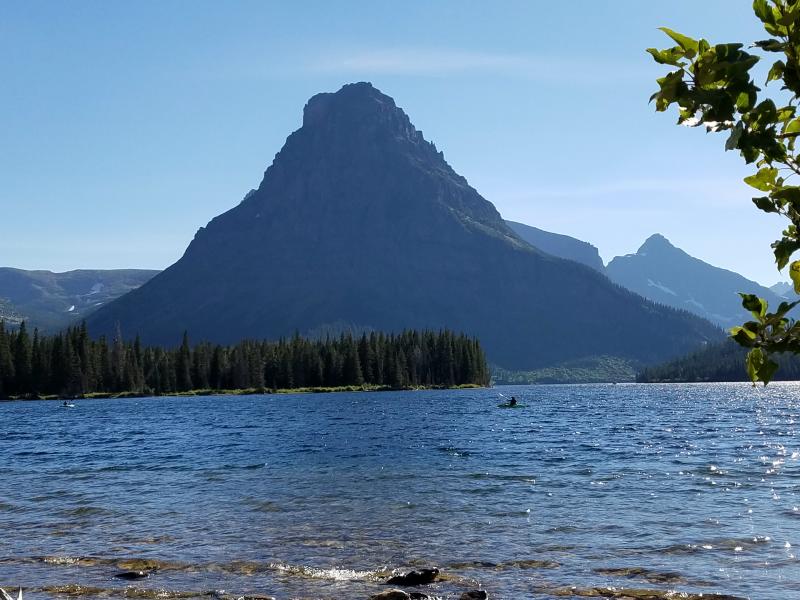
We left the ‘Going To The Sun Road’ and headed south on US 89 to SR 49. SR 49 took us back to Two Medicine Lake. Re-entering the park, I had to show the pass I got back in West Glacier to avoid paying another $30 fee.
Again, it was the wrong time of the day, and the sun was making it difficult for me to get good photos.
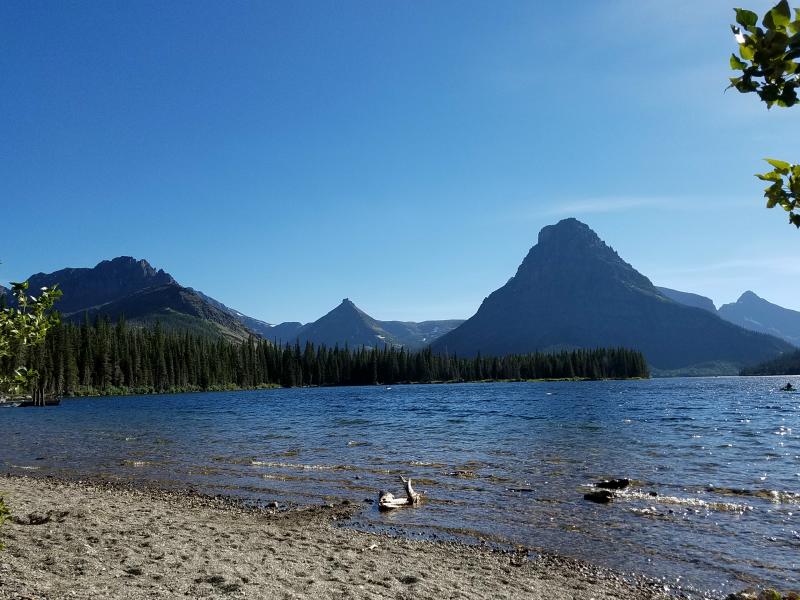
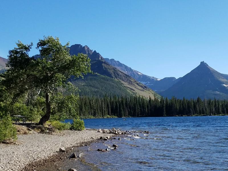
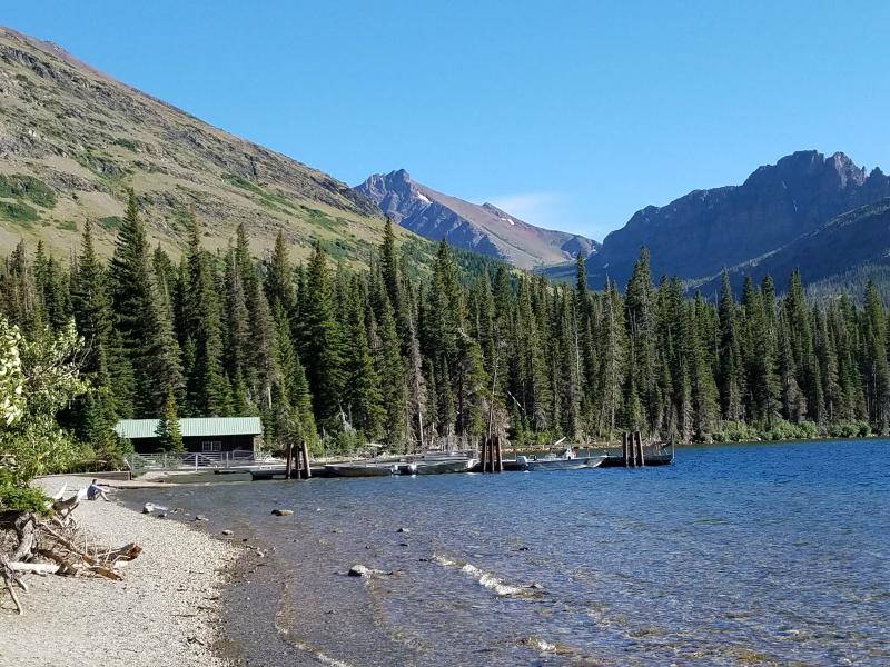
This is a beautiful area to camp and canoe in. And it’s not as crowded as the rest of the park.
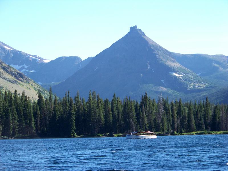
You can even buy a ticket and take a boat ride.
After spending some time walking along the beach, and playing in the water, Marley and I had some snacks and a drink, and left the park.
We headed south on SR 49 to US 2, and then headed east in to Browning on the Blackfeet Reservation. I stopped at a gas station to get some fuel and more snacks. A man came up to me and began telling me that he served his country as a frogman (US Navy), and drinks to escape the things he’s seen. He said he was hungover, needed money to buy more alcohol, and wanted me to give him $5. I refused, got my fuel, and left. I was going to go in to the store, but didn’t want to be harassed for money. I decided I wasn’t going to make any more stops until I was off of the Indian reservation.
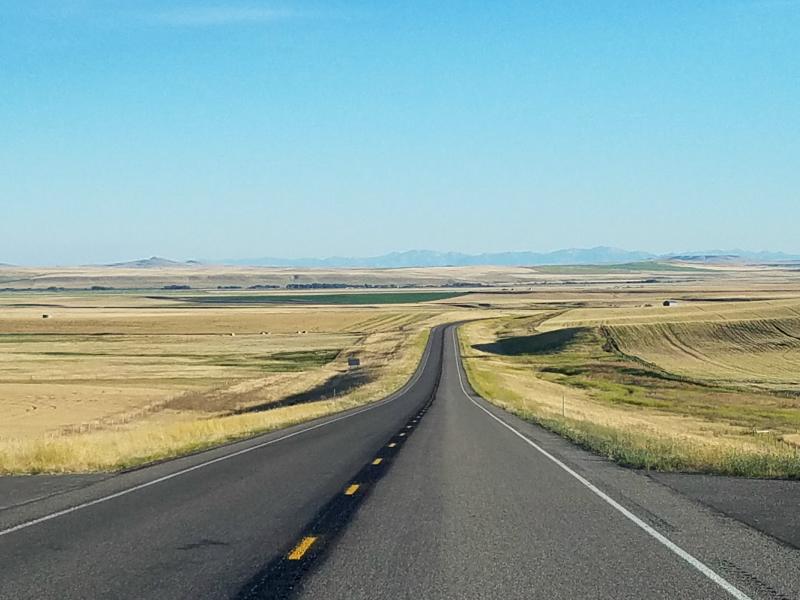
For those of you who think that Montana is a state covered in mountains, it’s not. I would say 25% of the state is mountainous, and the rest looks more like this…
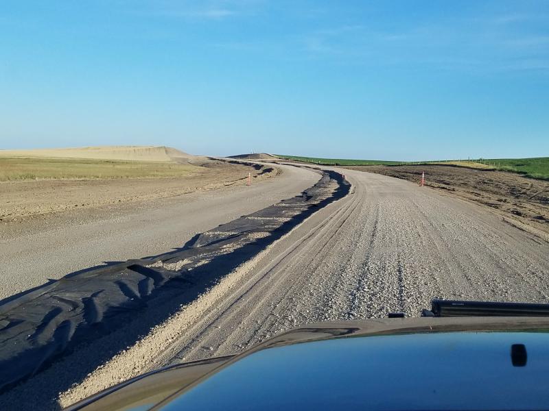
You go from the mountains of Glacier National Park to the plains real quick. We had traveled US 89 south from Browning and came in to a large area of road construction. It was more like road deconstruction. This was a major US route that was turned to dirt in its road construction phase. This isn’t the first time I saw this. I saw work like this on a US route in Colorado.
US 89 lead us to Vaughn Montana, just outside of Great Falls. US 89 overlaps IS-15 here, so we jumped on that a short distance to the Flying J Travel Plaza (truck stop) on 31st Street and IS-15. I had decided to spend the night in a truck stop instead of looking for a campsite. I chose this area because the next truck stop on my path would be another 4-hours away.
There was a Denny’s at this truck stop, so I decided to eat dinner there. The service was horrible, and they weren’t even busy.
I always say that you just never know what you’ll run in to on a road trip. Tomorrow would end up bringing me a lot of unexpected surprises, and probably be the weirdest day of my trip.
Links:
Roadtrip 2017 – Exploring The West – Main Page
Roadtrip 2017 – Exploring The West – Day 14
About The Author
Growing up, my father always believed that every family needed a truck—there’s just something about having a vehicle capable of hauling anything at a moment’s notice. That philosophy stuck with me, and it’s been the foundation of my lifelong passion for Ford trucks.
While I’m best known for my work with Ford Rangers, I’ve owned a wide variety of Ford trucks over the years—including F-150s, F-250s, F-350s, and even larger rigs like the Ford Excursion, Ford Expedition, and a 1982 Ford Econoline Sportsmobile camper van. I’ve used these vehicles for everything from family transportation to towing car trailers and campers, and each one has fueled my love for Ford’s versatility and durability.
I especially enjoy the styling of 1970s and 1980s Ford trucks—the bold designs, rugged presence, and classic charm are timeless. Sharing my passion for Ford trucks, vans, and SUVs with other enthusiasts online brings me a great deal of joy, and it’s why I created Blue Oval Trucks.
This website is dedicated to helping Ford truck enthusiasts explore, learn about, and celebrate these incredible vehicles. While I share my expertise and experiences here, Blue Oval Trucks is an independent enthusiast site and is not affiliated with Ford Motor Company.