
Roadtrip 2017 – Exploring The West – Day 5 – July 14th:
I woke up after another cold night in the tent. It got so cold, that by morning, my pillow actually felt damp.
I fed and walked Marley, and then headed down for a shower. You really need to get up and get a shower early, or you’ll find yourself waiting in a line. After my shower, I returned back to camp, had some cereal, and enjoyed my final moments in Ouray. Once everything was all packed up, Marley and I were back on the road.
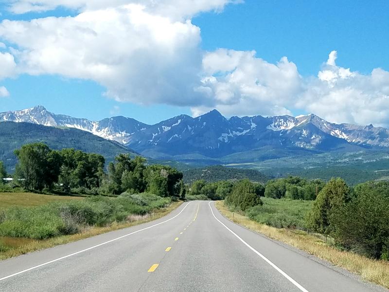
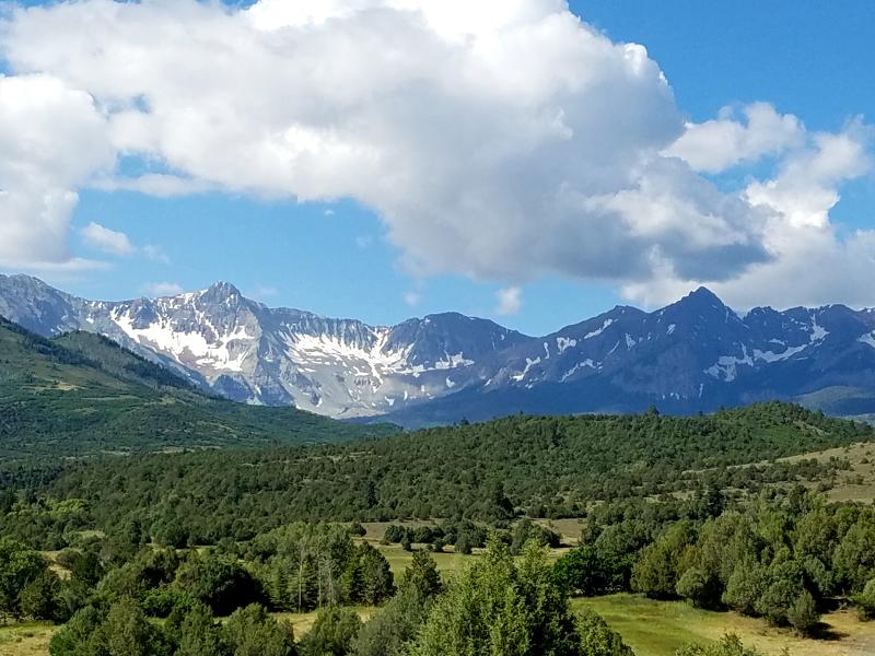
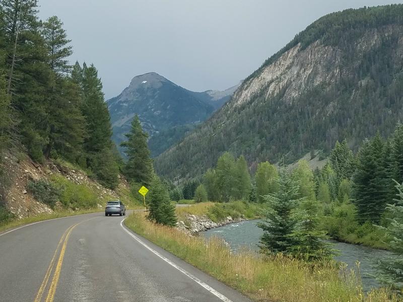
We headed back north on US 550 to Ridgway, and then followed SR 62 west to SR 145. We turned south on SR 145, and headed in to Telluride.
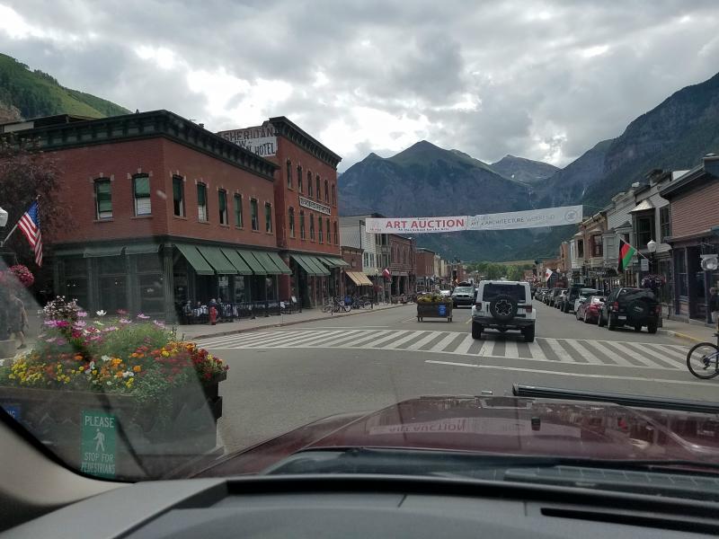
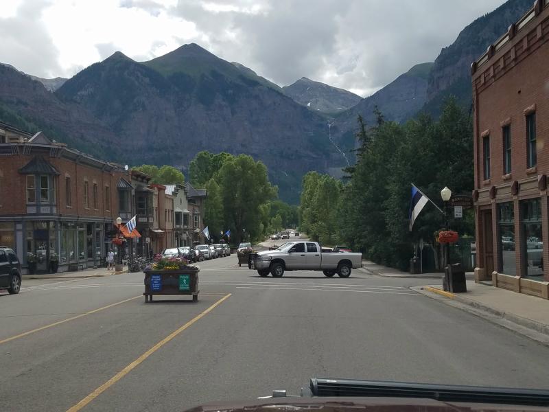
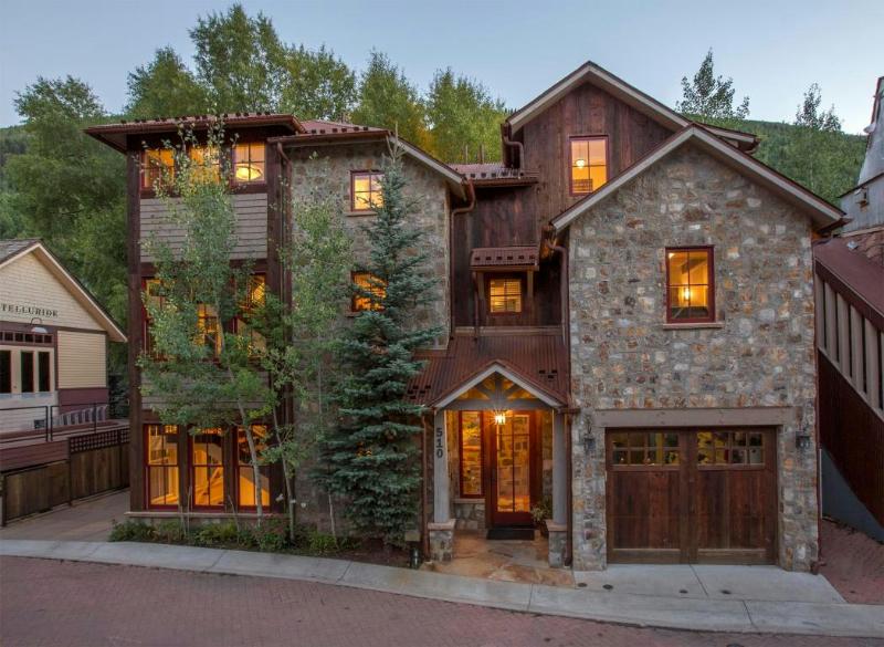
Telluride Colorado: Arriving in Telluride, it was quickly evident that it was going to be completely different than Ouray and Silverton. While Telluride retains many of it’s original structures, and early Victorian charm, it also features a lot of beautiful modern architectural styles.
According to Wikipedia:
The town of Telluride is the county seat and most populous town of San Miguel County. The town is a former silver mining camp on the San Miguel River in the western San Juan Mountains. The first gold mining claim was made in the mountains above Telluride in 1875 and early settlement of what is now Telluride followed. The town itself was founded in 1878 as “Columbia”, but due to confusion with a California town of the same name, was renamed Telluride in 1887.
Telluride sits in a box canyon. Steep forested mountains and cliffs surround it, with Bridal Veil Falls at the head of the canyon. Numerous weathered ruins of old mining operations dot the hillsides. A free gondola lift connects the town with its companion town, Mountain Village, at the base of the ski area. Telluride is known for its ski resort and slopes during the winter, as well as an extensive festival schedule during the summer.
The Telluride Historic District, which includes a significant portion of the town, is listed on the National Register of Historic Places and is also one of Colorado’s 20 National Historic Landmarks.

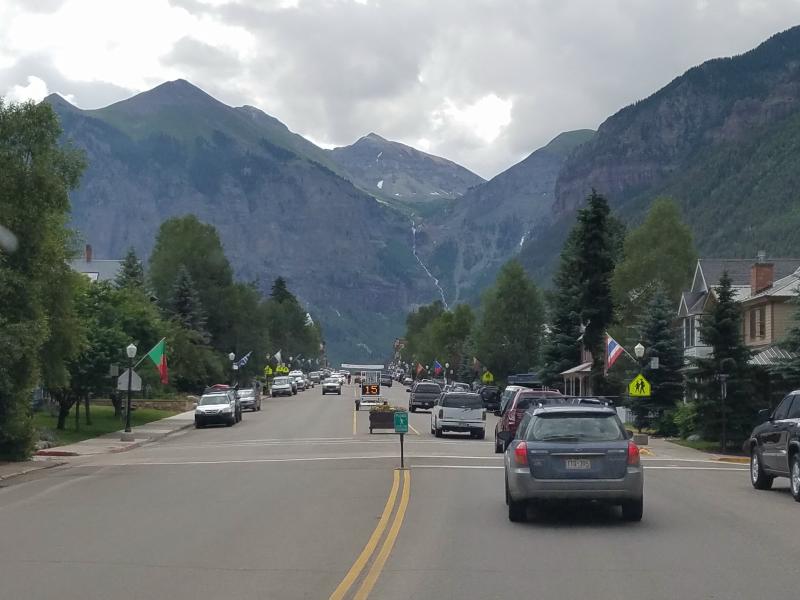
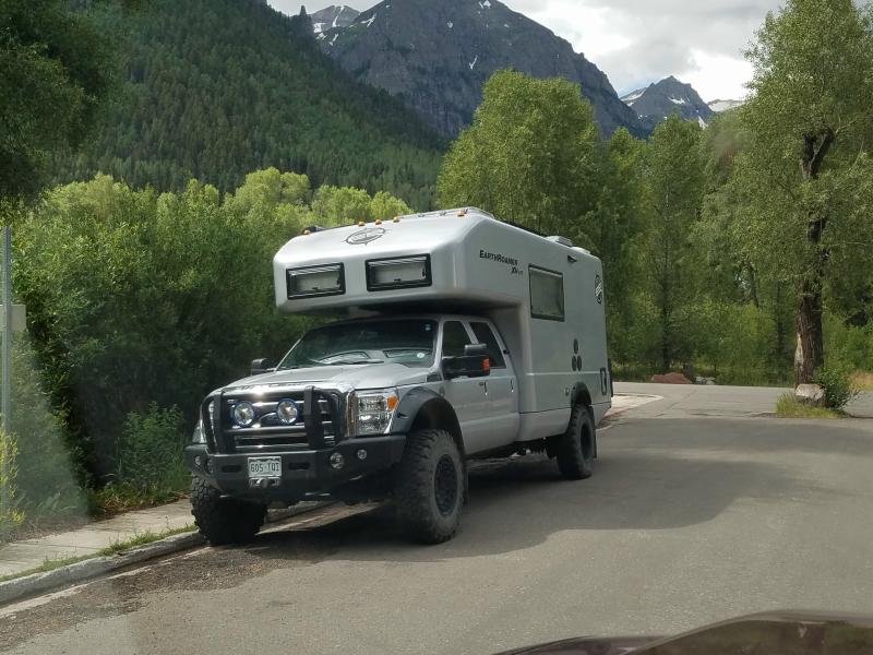
Homes in Telluride sell in the million dollar ranges. It’s crazy, because if you look at the listings for homes here, you’ll find houses listed that would probably be in the $100,000 – $150,000 range in any other part of the country. I guess location truly is everything. You’re paying far more for the dirt it sits on, then the house itself.
You’ll need deep pockets to live here, which probably explains how this resident can afford an EarthRoamer.
As I said earlier, there is some beautiful modern architecture here, along with the older Victorian styles. And there’s many newer styles that blend well with the vintage area.
If you follow the road through town, it will turn to a dirt road, and take you to where the Black Bear Pass comes in to Telluride, along with Bridal Veil Falls, and the Bridal Veil Power Station.
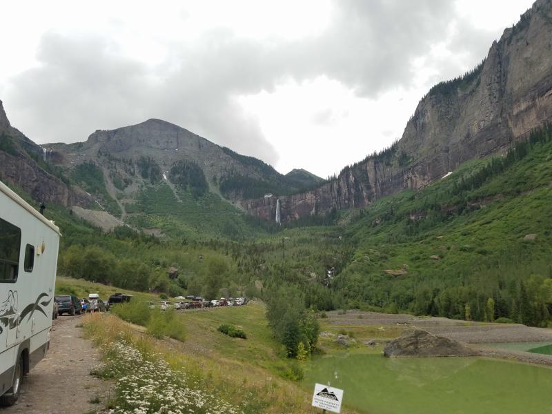
You can see the Bridal Veil Falls at the end of this canyon, with a hydro-electric power station just above it. All those cars were from hikers hiking in the area. There was a black SUV from a local hotel speeding back and forth taking guest to and from the area as well.
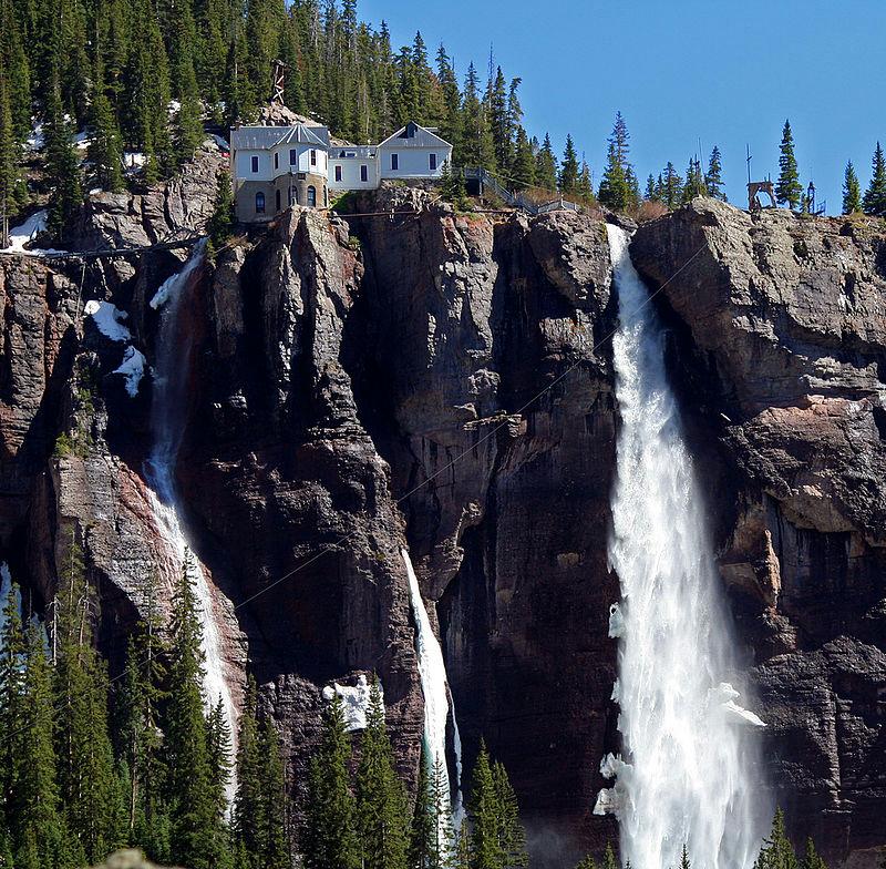
A hydro-electric alternating current power plant, the Smuggler-Union Hydroelectric Power Plant built in 1907, sits on top of the falls, originally used to power the Smuggler-Union Mine. It was originally owned by the Idarado Mining Company, who decommissioned it in 1953. It was leased from Idarado by local resident Eric Jacobson in 1988, who restored the power house to operation in 1991, and lived in the residence with his family until 2010 when he gave up the lease. The Idarado Mining Company now owns and operates the power plant and sells the power. The power generated provides about 25 percent of Telluride’s demand for electricity, and the plant still contains its original 2300 volt Westinghouse Electric AC generator, one of the oldest AC generators still in operation. In 1979 it was listed on the National Register of Historic Places.
I never got out and went in to any place here. Honestly, the whole area felt to pretentious to me.
My Take on Ouray, Silverton & Telluride:
Silverton – If you’re down to earth, want to camp out, and be able to ride your ATV in town, this is the place to be.
Ouray – If you want to be close to nature, stay in a hotel or campground, and be closer to conveniences, stay here.
Telluride – If you want to stay in a fancy hotel, look at the mountains from a patio, and impress your friends, you’ll probably be happier here.
Me, well, I was quite happy staying in the Ouray area.
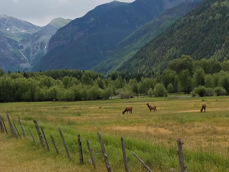
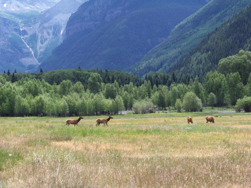
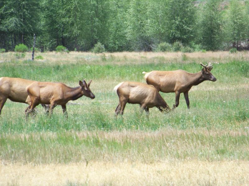
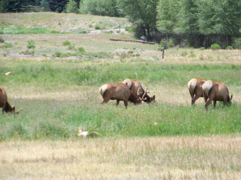
Heading back out of Telluride on SR 145, I spotted these elk grazing in a field next to the highway.
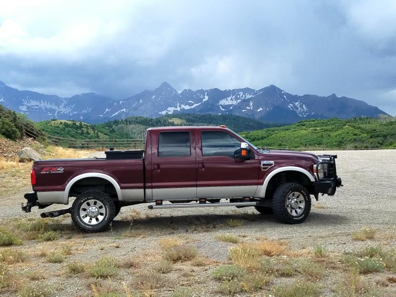
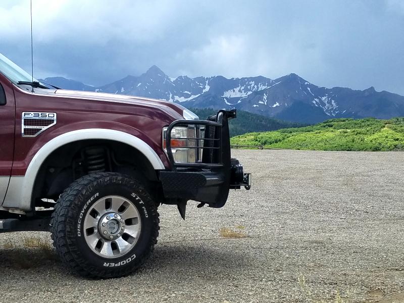
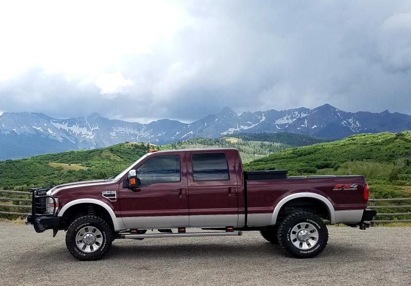
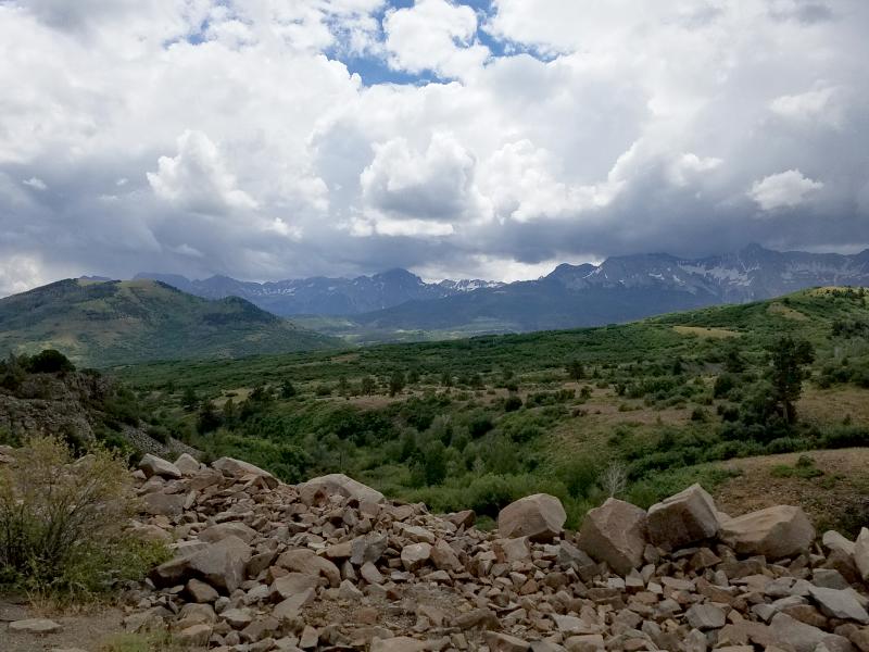
We headed back across SR 62 towards US 550, and found this large pull off area to stop and stretch. This was west of Ridgway, where SR 62 and US 550 meet.
Once we got back to US 550, we followed it north to Montrose, where we continued heading north on US 50. We followed US 50 to SR 92, and took that east to SR 133. We stayed on SR 133 until we got to the CR 3 turn off for Marble Colorado. My goal was to go to the Crystal Mill.
The Crystal Mill, or the Old Mill, is an 1892 wooden powerhouse located on an outcrop above the Crystal River in Crystal, Colorado. Although called a mill, it is more correctly denoted as a compressor station, which used a water turbine to drive an air compressor. The compressed air was then used to power other machinery or tools in the nearby silver mines.
It fell into disuse in 1917 when the Sheep Mountain Mine closed. The mill was placed on the National Register of Historic Places on July 5, 1985.
CR 3 is a paved road heading in to Marble…
But once you go through Marble, it turns in to this…
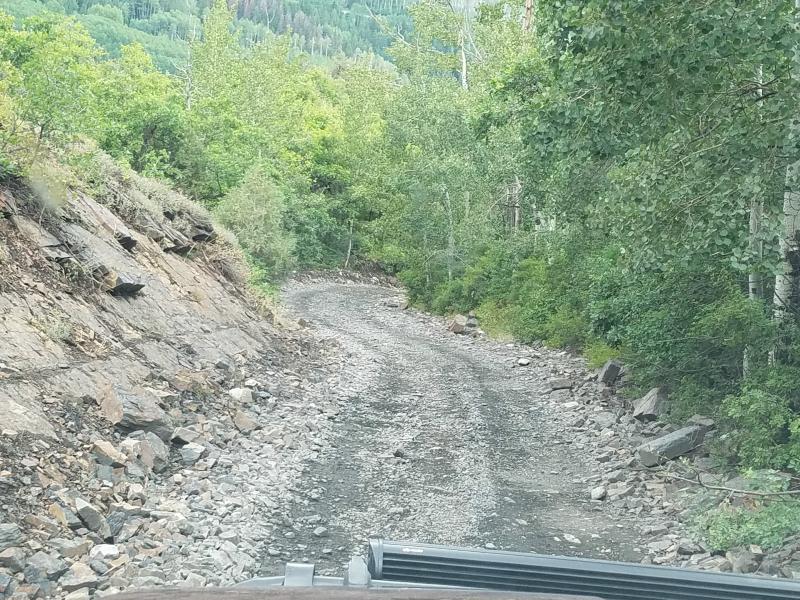
I knew ahead of time that I would need a 4×4 vehicle to get to Crystal Mill. The road is narrow, and I passed several dirtbikes and ATV’s heading back in to Marble. Being in such a remote and mountainous area, my tablet and phone was not getting a connection, and I lost the use of navigation. And as you can probably tell, this is not an area with marked roads.
I passed the turn off for the mill, and found a place to pull off and park. The road conditions were getting worse. I know from my experience offroading, that old rural roads that no longer have any use, are no longer maintained, and can become some extreme offroading trails. That’s great when you want to do some offroading, but not what I was looking for. With all the trees, bends, and limited places to turn around, I decided to get out and walk the area to see where I was going.
I met a local coming down the road in a full size Ford Super Duty. It was a good thing that I had stopped, because one of us would have had to back up. There was definitely no places to pass here. They directed me to where I was wanting to go, and told me that it would take 1-1/2 hours to get to the mill. They also warned me about the road/trail conditions.
There comes a time when you need to know when to give up. It was around 6 pm, and I had traveled roughly 4-hours to get here. Looking at the map, I had initially figured that the mill was only a few minutes beyond Marble. Now it was looking like another 3-hour round trip just to get to it and back. That would put me coming out of the area around 9 pm. I was confident that I had more than enough light on the front of my truck to see, but I had made a reservation at a motel just across the border in Utah, and that was still another 4-hours away. I was simply out of time.
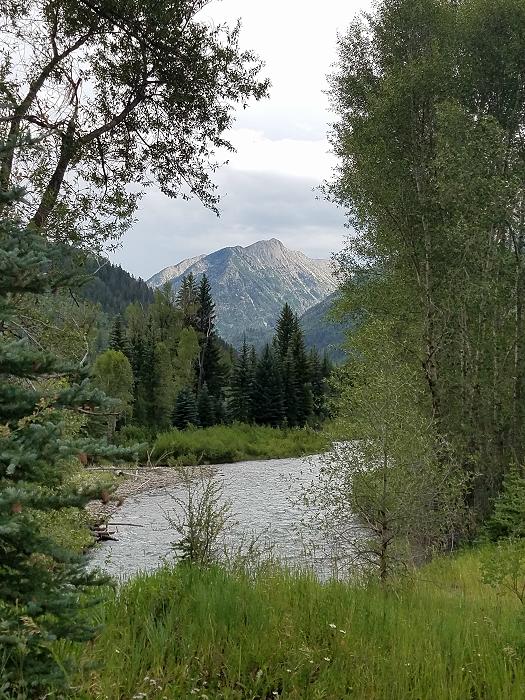
Marley and I went back to SR 133, and headed north. Marley started making a sound like he was going to throw up, so I found a pull off and stopped. We were only about a 1/2 mile north of CR 3. When I walked him, I realized that there was a beautiful view just beyond the tree line.
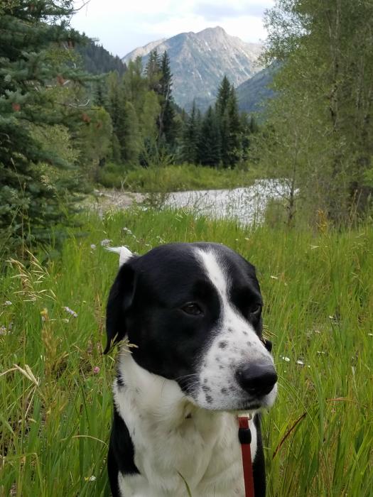

After making sure Marley was ok, and taking a few photos, we were back on the road. We continued until it intersected with SR 82, and then followed that west to IS 70. We took IS 70 west for roughly 25 miles to Rifle, Colorado, where we were able to pickup SR 13, and continue north.
SR 13 took us to SR 64, where we turned and headed west. SR 64 eventually intersects with US 40 in Dinosaur Colorado. Google maps was apparently bored with this road, and decided to send us on a shortcut. We turned north on to CR 65, which was a paved road…. for about 3-miles. We were then greeted with a sign for a mining company, and the road turned to dirt. Oh well, Google knows where it’s taking us, right?
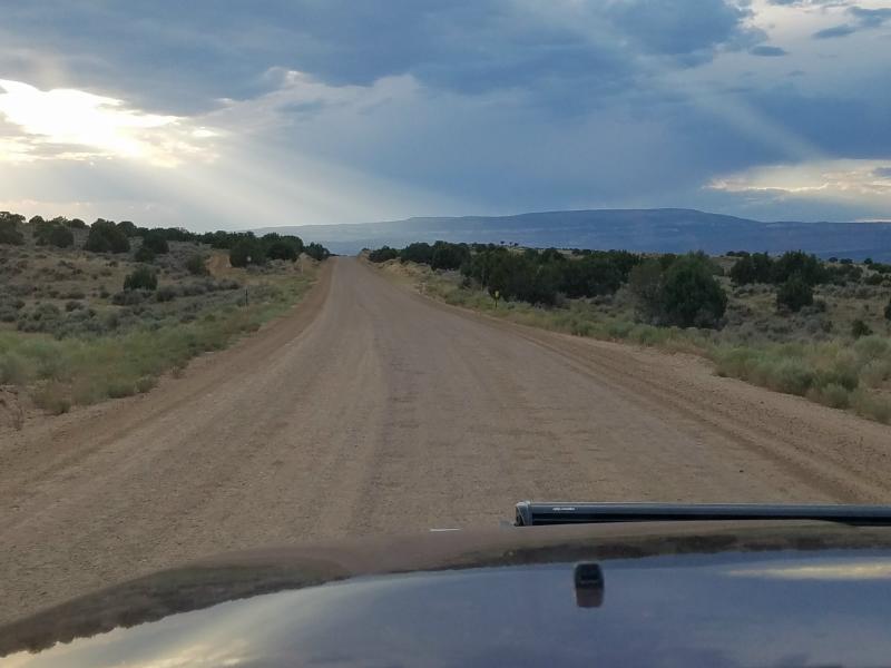
We continued another 6-miles on the Deserado Mine road until it ended at US 40. We traveled west on US 40, and got to the Utah border as the sun was setting.
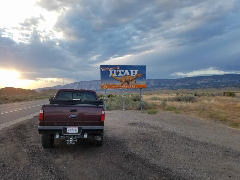
Roughly 30 minutes later we would be in Naples Utah, where we had reservations at a Studio 6 (Motel 6) for the night. After spending (1) night in the truck, and (3) cold, damp nights sleeping in a tent, I really wanted a warm dry bed for the night. I really didn’t want to end up sick after only 5-days on the road, and not having to walk down to the bath house every time I needed to use the restroom, or take a shower, was another added bonus. Plus, it would give me a chance to make sure my laptop, phone, tablet, and camera were all charged up.
But first, we needed to head to Sonic before we checked in to the motel. At some point on our roadtrips, Marley and I always stop at a Sonic, split a 12-piece order of honey BBQ boneless wings, and we were overdue 😉
With food in our bellies, we headed to the motel for the night. It was nice to lay in a comfortable bed. Marley apparently had the same thought, because he was resting his chin on the bed staring at. Once I gave him the ok, he jumped up and made himself comfortable.
I looked at my atlas, and charted a course for the morning. Tomorrow we would be visiting a historical landmark that was literally in the middle of nowhere. But for now……sleep.
Links:
Roadtrip 2017 – Exploring The West – Main Page
Roadtrip 2017 – Exploring The West – Day 6
About The Author
Growing up, my father always believed that every family needed a truck—there’s just something about having a vehicle capable of hauling anything at a moment’s notice. That philosophy stuck with me, and it’s been the foundation of my lifelong passion for Ford trucks.
While I’m best known for my work with Ford Rangers, I’ve owned a wide variety of Ford trucks over the years—including F-150s, F-250s, F-350s, and even larger rigs like the Ford Excursion, Ford Expedition, and a 1982 Ford Econoline Sportsmobile camper van. I’ve used these vehicles for everything from family transportation to towing car trailers and campers, and each one has fueled my love for Ford’s versatility and durability.
I especially enjoy the styling of 1970s and 1980s Ford trucks—the bold designs, rugged presence, and classic charm are timeless. Sharing my passion for Ford trucks, vans, and SUVs with other enthusiasts online brings me a great deal of joy, and it’s why I created Blue Oval Trucks.
This website is dedicated to helping Ford truck enthusiasts explore, learn about, and celebrate these incredible vehicles. While I share my expertise and experiences here, Blue Oval Trucks is an independent enthusiast site and is not affiliated with Ford Motor Company.