
Roadtrip 2017 – Exploring The West – Day 8 – July 17th:
I started the day anxious to get to the Pacific Ocean. After feeding and walking Marley, getting a shower, breakfast, and everything packed up, we hit the road.
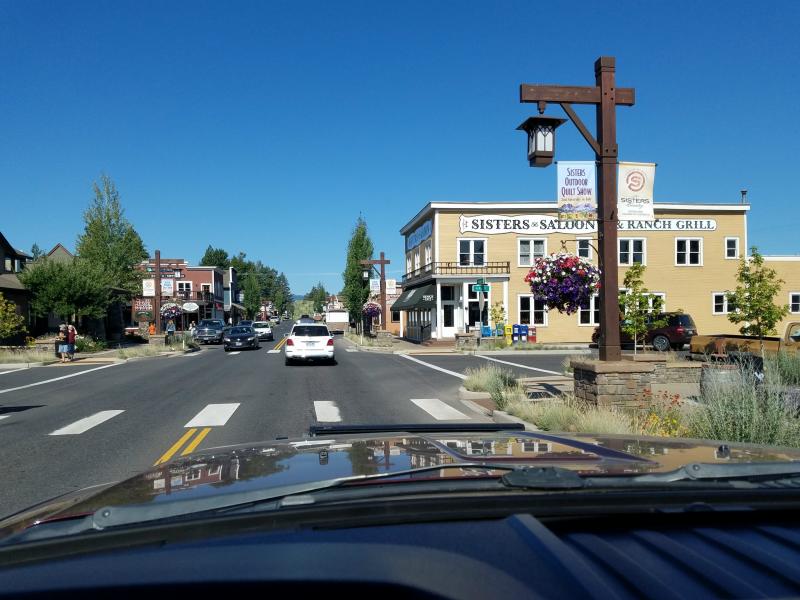
We traveled south on US 97, and headed west on SR 126 to Sisters Oregon. Sisters had a pretty scenic downtown area with an ‘old west’ feel, and a lot of shops and cafe’s. If I had known what the town and immediate area looked like, I probably would’ve stayed an extra day to explore it.
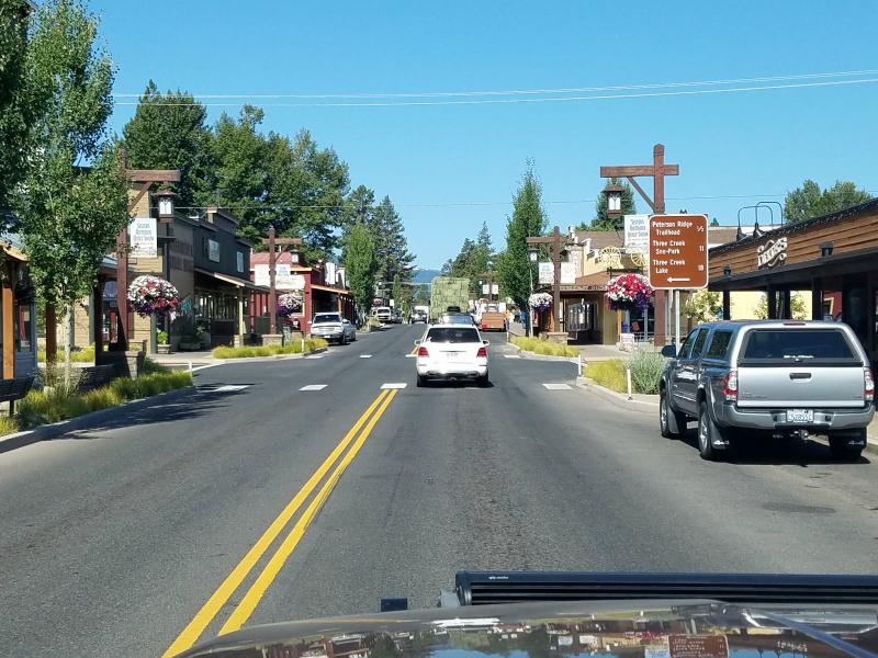
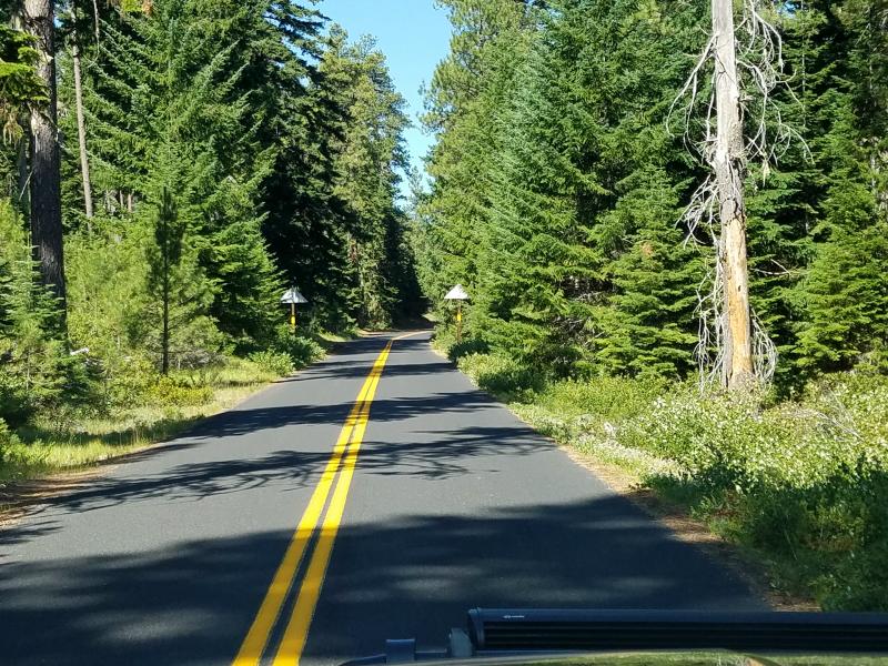
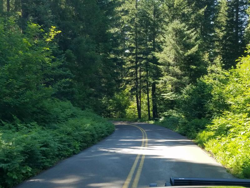
We headed west out of Sisters on the McKenzie Highway (SR 242).
This highway was the original routing of U.S. Route 28 through the Oregon Cascades until 1952, when it was redesignated as part of U.S. Route 126 (now Oregon Route 126). This highway was built in the 1920s, and was the only highway over the Cascades out of Eugene until 1962. In 1962 a gravel road heading north from Belknap Springs to U.S. Route 20 at Santiam Junction was widened and paved. At that point, the new alignment was designated as US 126, and the old alignment was renamed OR 242. OR 242 is now considered primarily a scenic route. As a result, it is not plowed and closes during winter—generally from November to July, although snows have closed it as early as Labor Day in the past. Snow packs of up to fourteen feet are common on the summit of the road; snow gates are located 7 miles east of the junction with OR 126 at Belknap Springs, and 8 miles west of Sisters.
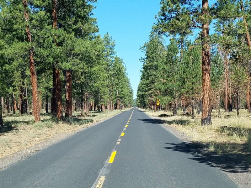
The road is extremely curvy with numerous sharp switchbacks. It’s not suitable for vehicles towing trailers or large motorhomes.
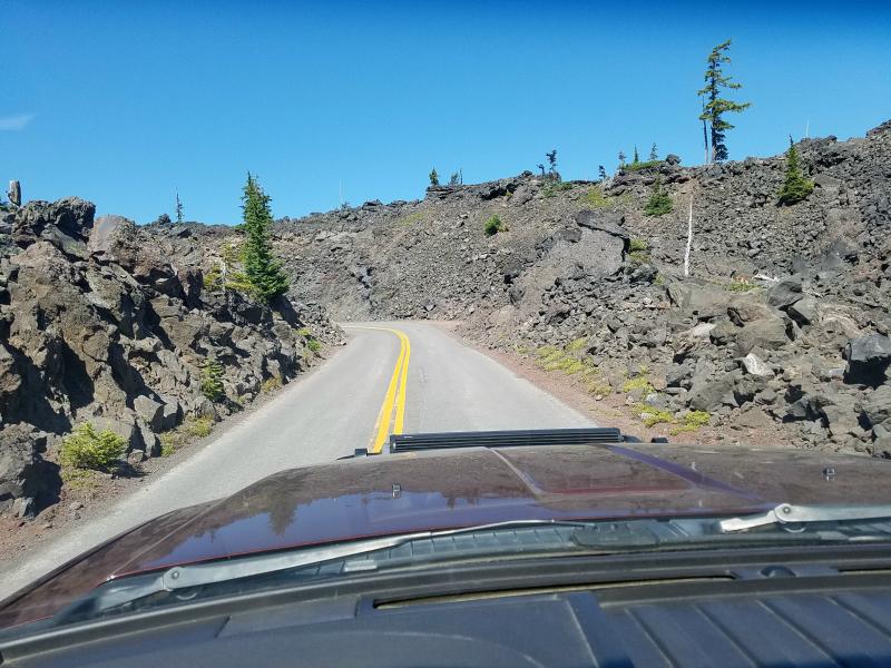
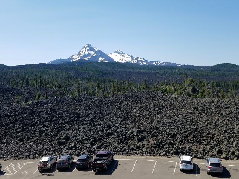
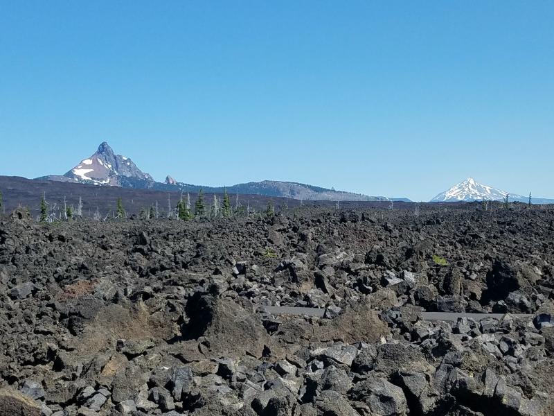
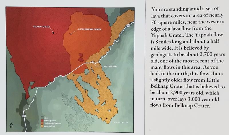
After about 11-miles, you’ll come to the Windy Point viewpoint. Here you can stop and view the lava field from a near by volcano, as well as the snow capped mountains in the distance.
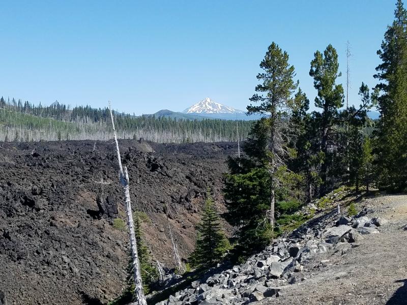
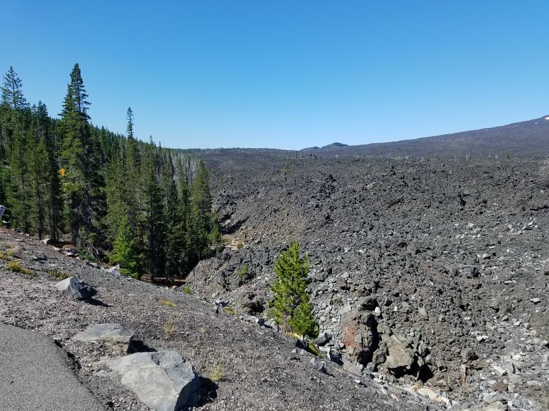
All that rock you see piled up in the above photo is lava. It’s pretty impressive to see in person.
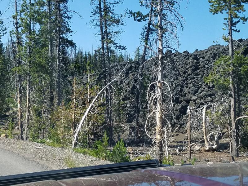
Eventually, the road cuts through the lava field, and brings you to the Dee Wright Observatory.

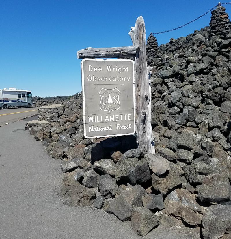
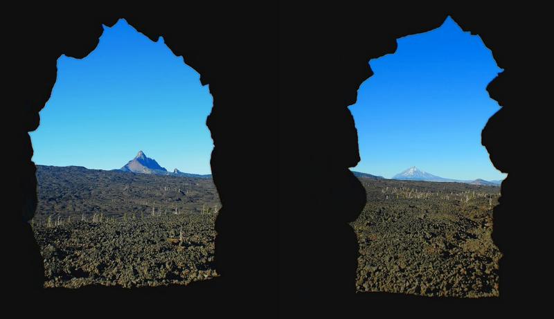
The observatory is an open shelter built with lava stone found at the construction site. The viewing windows are cut to specifically highlight the neighboring mountains. These “lava tube” viewing holes allow visitors to easily identify the different Cascade peaks.
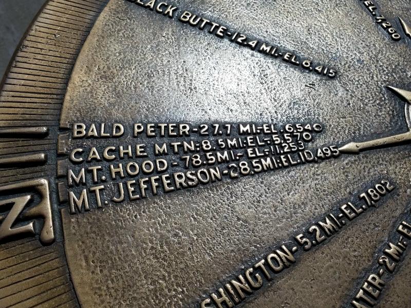
There is also a 36 inch diameter, bronze azimuth-like “peak finder” on the observatory’s roof to help visitors locate nearby geologic features, as well as the surrounding mountain peaks. From the top of the observatory, visitors have a panoramic view of the Cascade Mountain Range including Mount Hood in the far north.
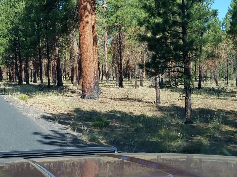
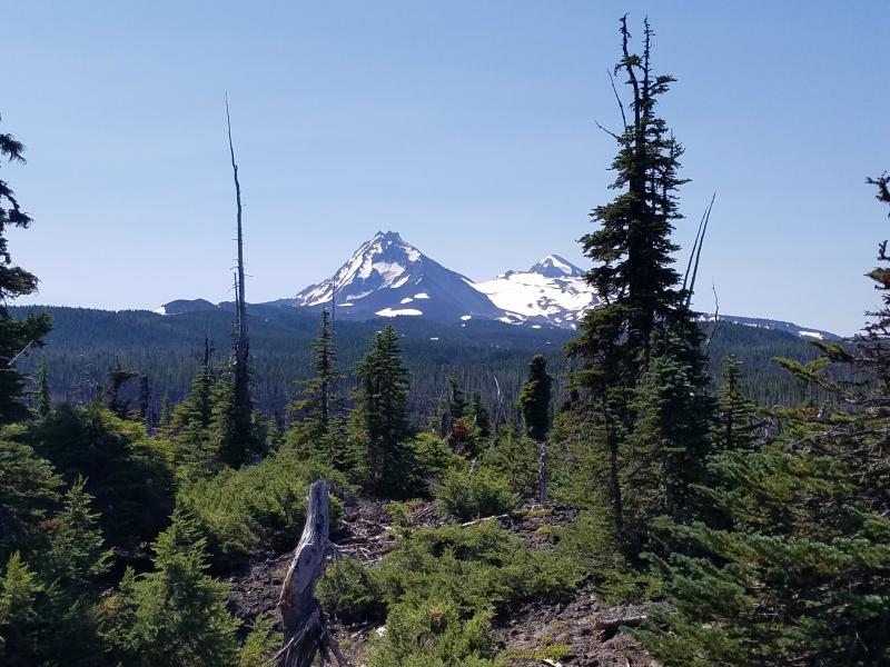
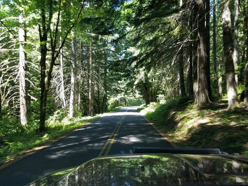
Continuing west on the McKenzie Highway (SR 242), the road continues through the Willamette National Forest. These views were a welcome break from the emptiness that we had driven through the day before.
(I love this photo)
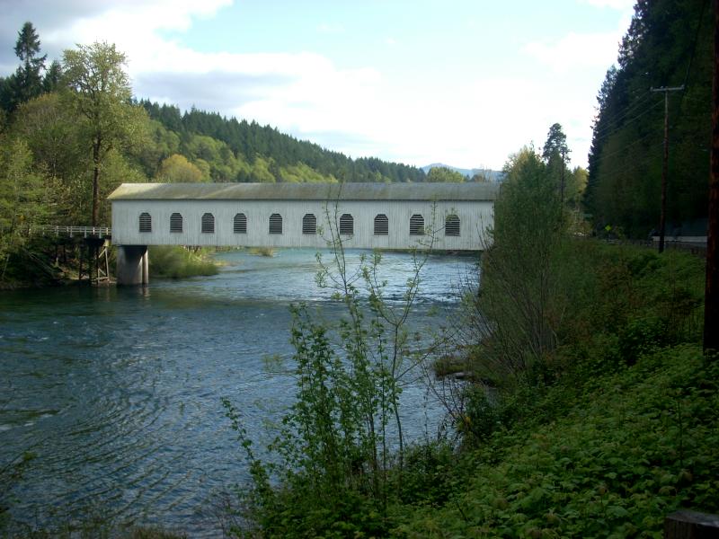
We eventually came to the intersection of SR 126 and turned west. After passing through the town of Vida, we came upon this covered bridge at Goodpasture Rd. The bridge is often referred to as the McKenzie bridge, because it crosses the McKenzie River. What’s confusing is that there’s actually a town along SR 126 named McKenzie bridge, but that’s not where this covered bridge is. The covered bridge is 24 miles west of the town ‘McKenzie Bridge’.
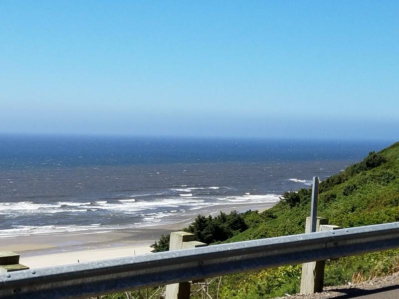
We stayed on SR 126 until it ended at US 101 (Pacific Coast Highway) in Florence. When we got to US 101, the temperature had dropped 10 degrees, and it had dropped over a relatively short distance. We stopped for some lunch, and then continued north trying to get a glimpse of the ocean. I was beginning to think that there would be no way to get close to it without going down a dead end street, but after a few miles, there it was.
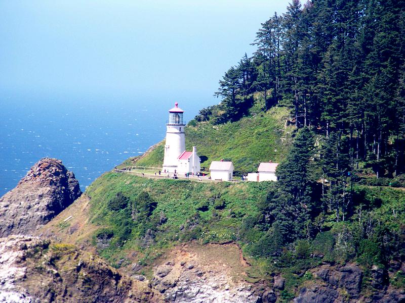
We passed a tourist attraction called ‘Sea Lion Caves’ and then came to a bend with a pull off. There was a beautiful view of the Heceta Lighthouse from this spot.
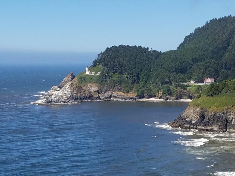
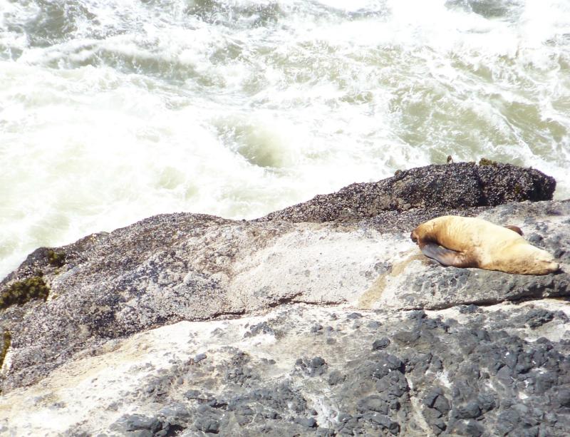
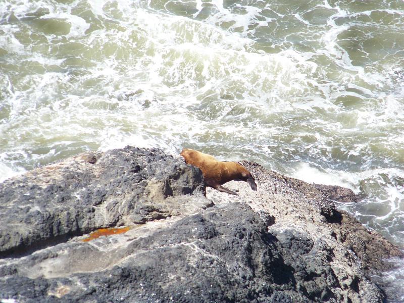
When I looked down over the guardrail, I saw sea lions laying on the rocks below.
After admiring the view, we continued down the road to the Heceta Lighthouse. There’s a nice park and beach there, but you can’t see the lighthouse from the parking lot. You have to pay a daily use fee, but I didn’t want to spend the day here. After taking a few photos, we continued our journey north.
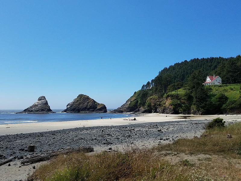
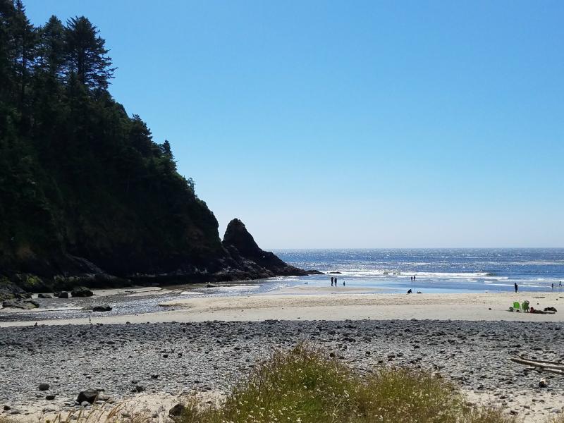
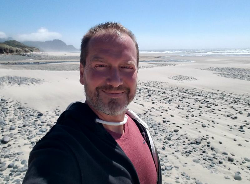
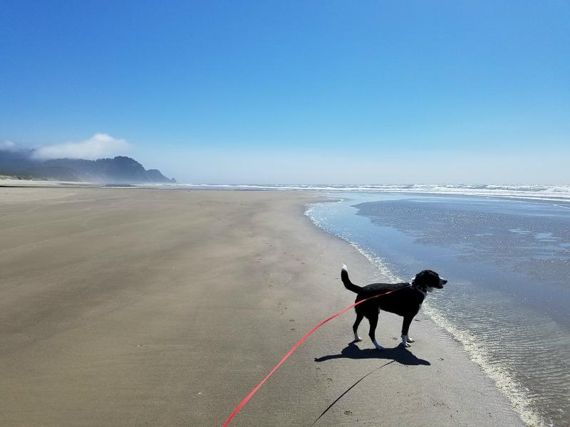
Continuing North on US 101, we came to the Muriel Ponsler Memorial Park. This was a free access point with a parking lot by the beach. There were two other vehicles in the parking lot, but it felt like Marley and I were the only one on the beach.
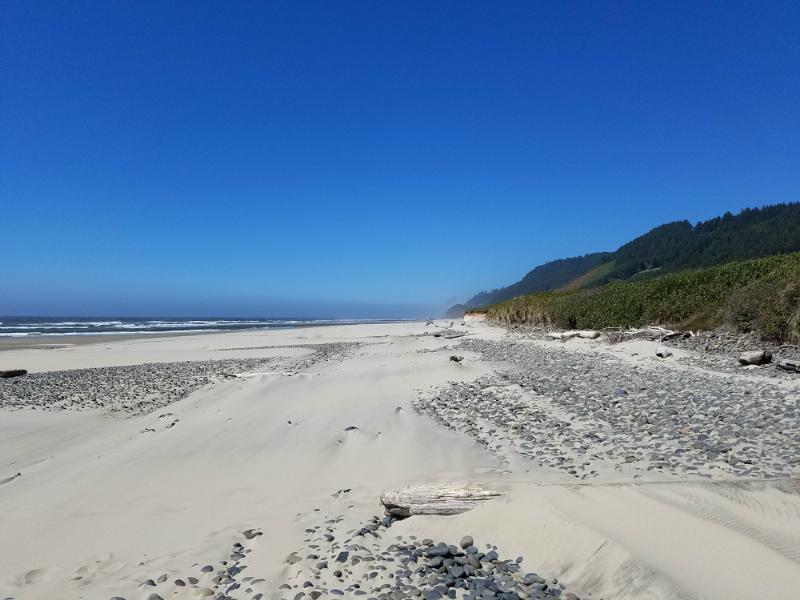
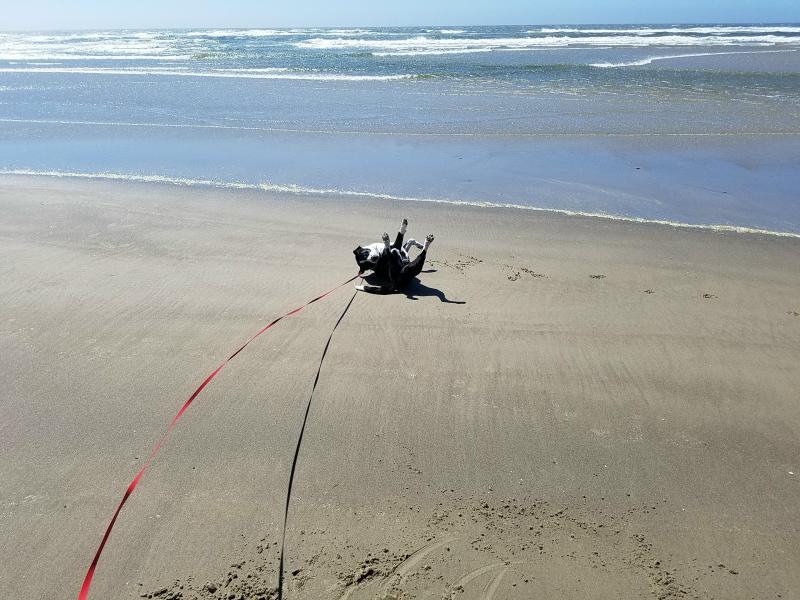
I wasn’t sure if Marley was allowed on the beach, but there was a sign stating that he was permitted, as long as he was on a leash, and I picked up after him. He had the time of his life rolling in the sand, and chasing waves. Definitely a beach dog!
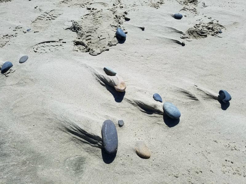
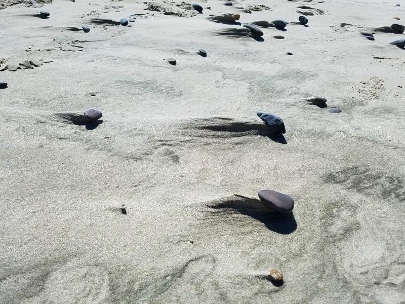
It was really windy, and I found it interesting how the wind was blowing the sand around the stones on the beach.
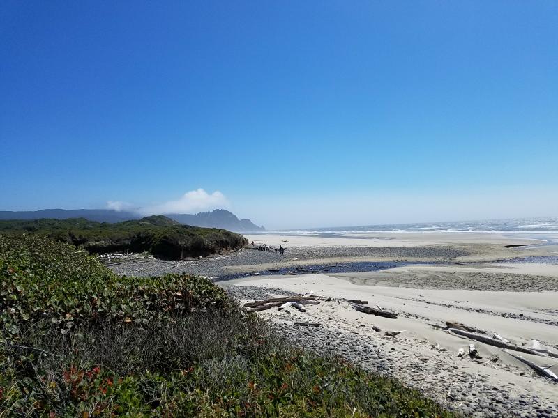
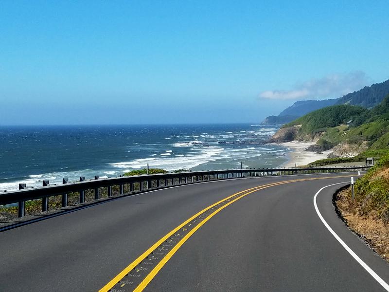
Marley and I stayed and played on the beach for a while. Before we left, I scooped up a bag full of sand, and grabbed some small pieces of driftwood as a souvenir . We left and continued north up the Pacific Coast Highway (US 101). The Pacific Coast Highway (also just referred to as PCH) is a beautiful drive. The combination of scenery, ocean breeze and temperature makes it all perfect. We passed more beach parks along the way, and surprisingly, there wasn’t many people using them.
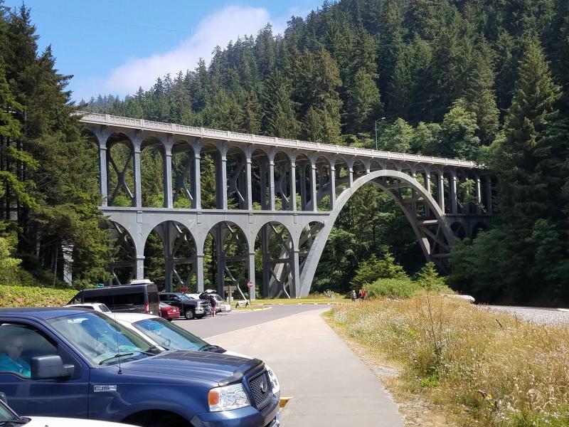
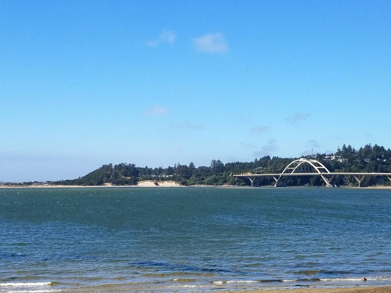
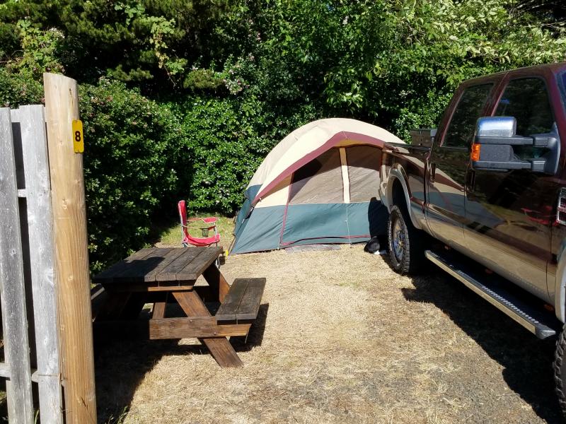
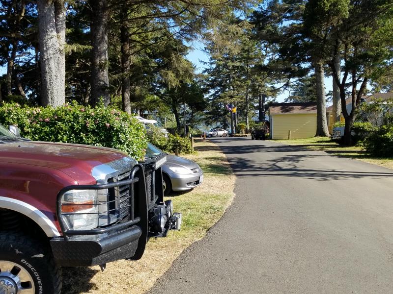
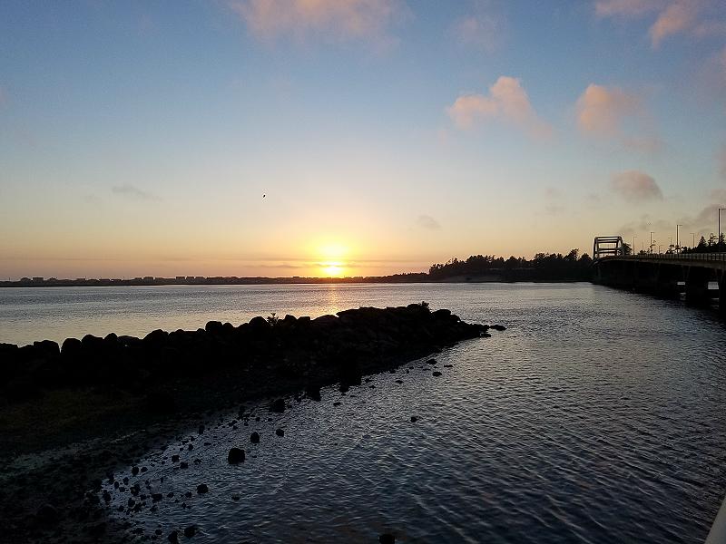
We stopped at the Waldport / Newport KOA campground just across the Alsea Bay Bridge. If you look at the photo below, the campground is on the left after the bridge. You can barely see the white campers in the tree clearing.
Marley and I lucked out and got their last tent site. The site had water and electric, and was even surrounded by bushes for privacy.
The campground had a nice laundromat, and it was still early enough for me to get all of my clothes washed. There was even plenty of time for Marley and I to take a walk and check out the water.
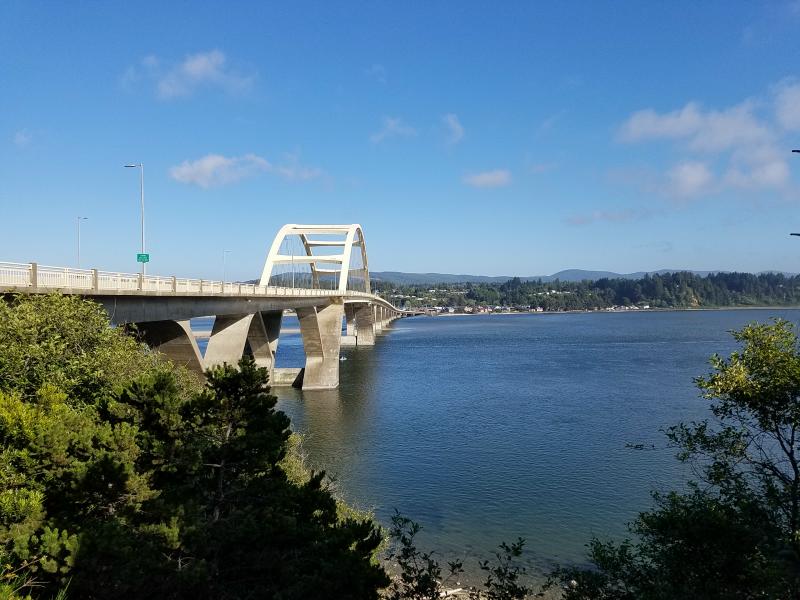
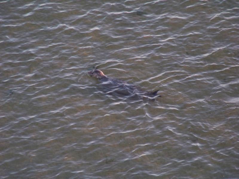
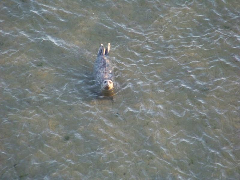
We ended up taking the walkway across the Alsea Bay Bridge. I was surprised at how clear the water was below, and counted more than a dozen seals playing around the bridge. I think the seals were just as interested in watching me as I was them. That or they were just stopping to pose for a photo. Either way, I definitely felt that my trip had their seal of approval. Ok, I couldn’t resist the seal joke.
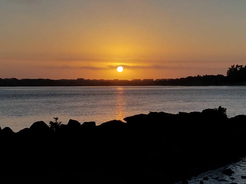
We stuck around and watched the sunset. I really wanted to see it set in to the ocean, but there was no way it was going to happen from this area. I briefly thought about going back to the truck, and seeing if I could drive north for a better view, but decided to just stay where I was and enjoy the moment.
We had the end tent site, and really great neighbors next to us. We had struck up a conversation earlier, and of course, Marley just had to meet them. Their propane lantern had broken, so I gave them my battery powered one for the night. When we returned to camp, they were grilling shrimp and a pan of vegetables. They were insistent that I was joining them for dinner, so I did. They were a lot of fun to sit and talk to, and of course, the food was great. After spending the evening with them, I told them to keep the lantern for the night, and Marley and I headed off to bed.
It was a fantastic day. I’m so glad I decided to go to the ocean. I’m anxious to get up and see more of it in the morning. Tomorrow it will be more of the Pacific Coast Highway, beaches, and me trying to convince my daughter I took a bridge to Hawaii. Stay tuned!
Links:
Roadtrip 2017 – Exploring The West – Main Page
Roadtrip 2017 – Exploring The West – Day 9
About The Author
Growing up, my father always believed that every family needed a truck—there’s just something about having a vehicle capable of hauling anything at a moment’s notice. That philosophy stuck with me, and it’s been the foundation of my lifelong passion for Ford trucks.
While I’m best known for my work with Ford Rangers, I’ve owned a wide variety of Ford trucks over the years—including F-150s, F-250s, F-350s, and even larger rigs like the Ford Excursion, Ford Expedition, and a 1982 Ford Econoline Sportsmobile camper van. I’ve used these vehicles for everything from family transportation to towing car trailers and campers, and each one has fueled my love for Ford’s versatility and durability.
I especially enjoy the styling of 1970s and 1980s Ford trucks—the bold designs, rugged presence, and classic charm are timeless. Sharing my passion for Ford trucks, vans, and SUVs with other enthusiasts online brings me a great deal of joy, and it’s why I created Blue Oval Trucks.
This website is dedicated to helping Ford truck enthusiasts explore, learn about, and celebrate these incredible vehicles. While I share my expertise and experiences here, Blue Oval Trucks is an independent enthusiast site and is not affiliated with Ford Motor Company.