

On day #4 (Thursday April 26th, 2018), I woke up in Fort Stockton after spending the night in the parking lot of the Loves Travel Center. I walked and fed Marley, ate breakfast, and hit the road.
I had planned to visit Big Bend National Park, but after doing some research last night, it seemed that the best way to really appreciate Big Bend was through hiking, camping, and 4×4 trails such as the Black Gap 4×4 Trail. I decided to bypass Big Bend, and come back later with a more suitable vehicle.
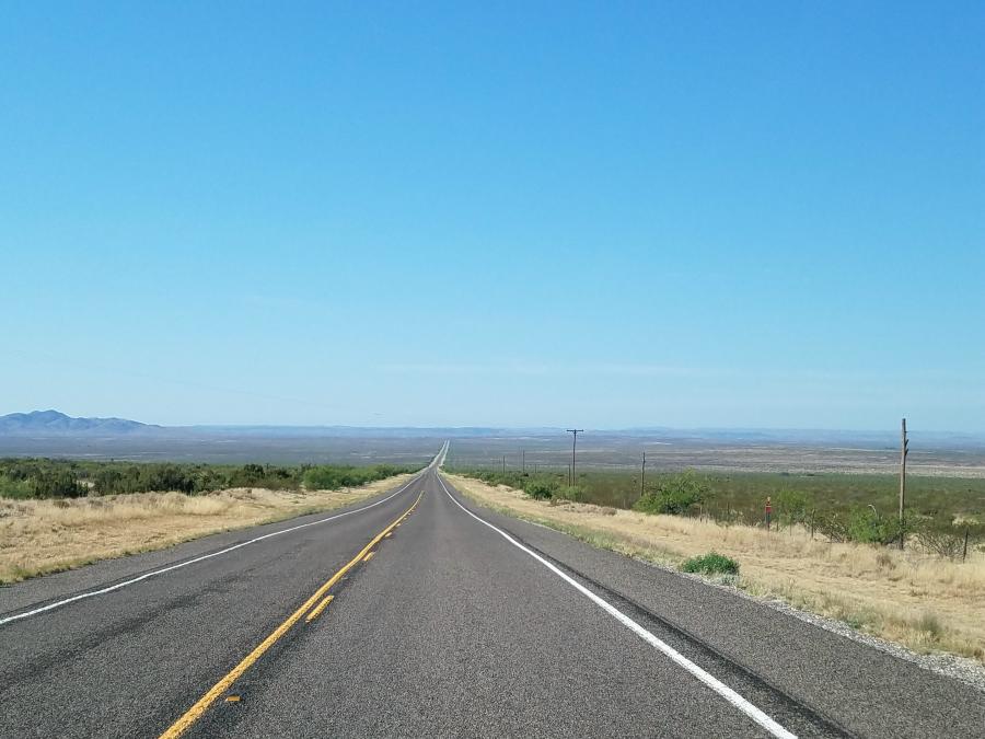
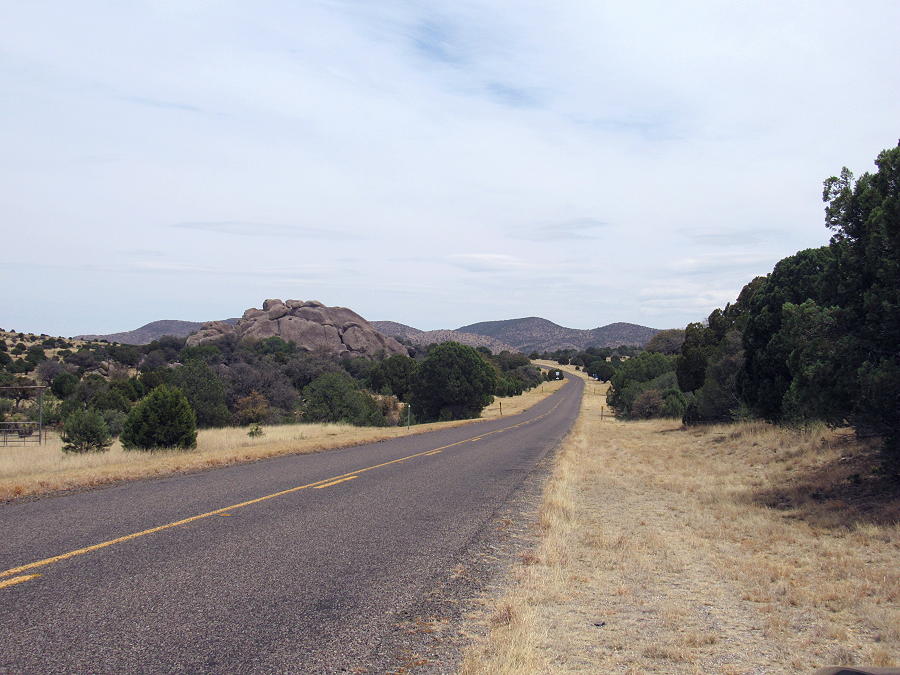
I headed south on US 385 out of Fort Stockton. This is some wide open country, but after a while, mountains appear in the distance.

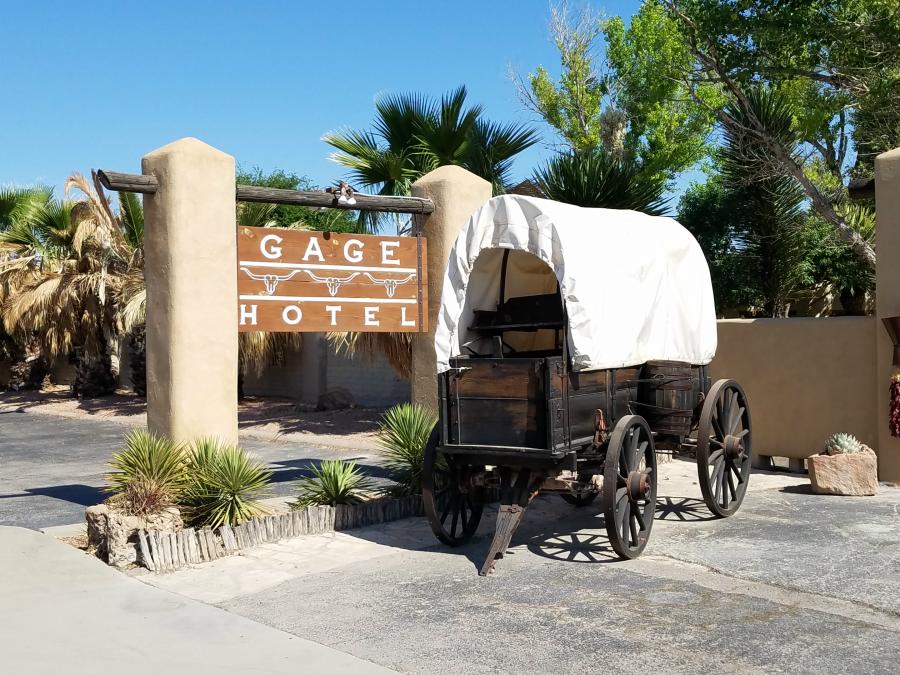
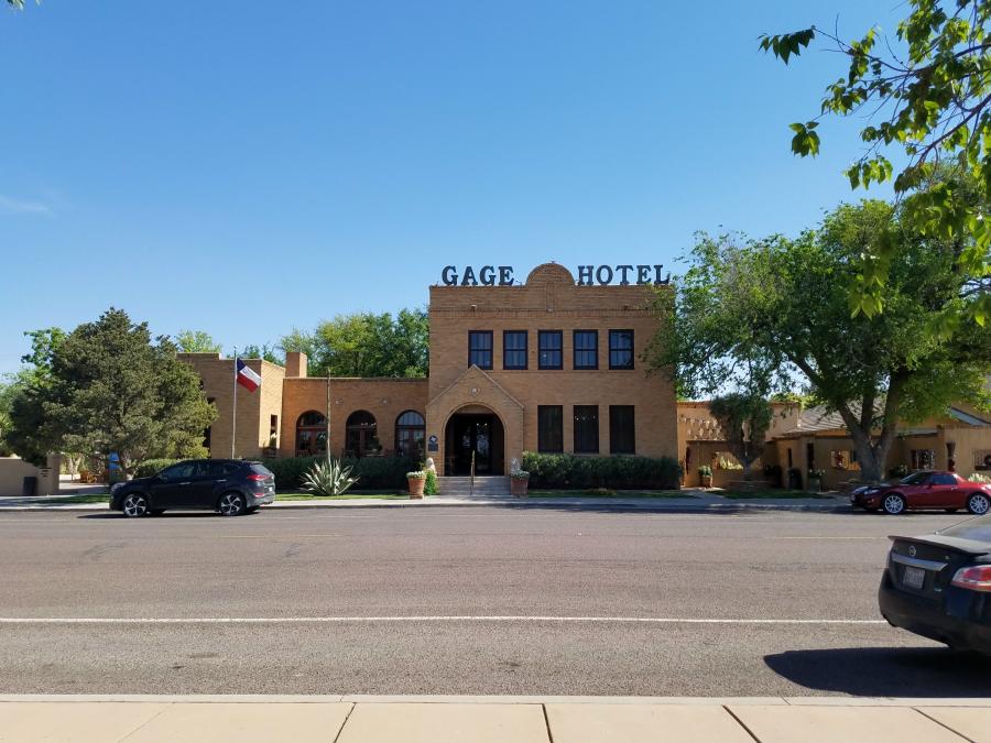
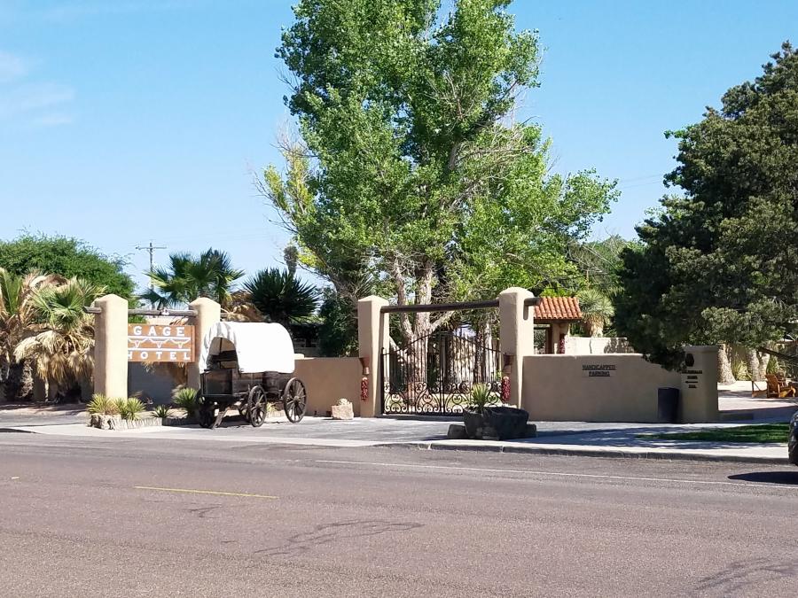
I followed US 385 until I came to US 90, and the town of Marathon. Marathon features the Gage Hotel. According to their website:
Built in 1927 by acclaimed architect, Henry Trost, the legendary Gage Hotel offers authentic laid-back luxury with premier accommodations, top-notch service and a first class dining experience. The 45-room hotel offers guests a multitude of hotel amenities and activities, including a full service spa, heated swimming pool, 27-acre landscaped native garden, fitness center, or enjoy planned activities arranged by our hotel concierge in near-by Big Bend National Park and the surrounding area. Located in the beautiful Texas Mountain Region in the charming community of Marathon, the hotel has been awarded Trip Advisor Certificate of Excellence, named #1 Small Hotel in Texas by Texas Highways Magazine, included in National Geographic Travel Magazine “Stay List”, voted the #1 Hotel in Texas and #17 in the United States by readers of Condé Nast Traveler and the hotel’s famous White Buffalo Bar was selected by Texas Monthly Magazine as “Best Hotel Bar” in Texas.
Learn more at http://gagehotel.com/
Another great place to stay in Marathon is the Marathon Motel & RV Park. I didn’t discover it until I was leaving Marathon. From the quick glimpse I got driving by, and from the photos I saw on their website, the hotel and camping area seem to be pretty nice. Had I known it was here, I probably would have came her instead of heading up to the Loves Travel Center in Fort Stockton. I will probably stay here on my return trip to Big Bend. For more information, visit http://www.marathonmotel.com/
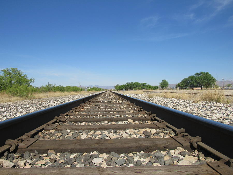
I walked Marley while we were in Marathon, and discovered some railroad tracks across from the Gage Hotel. I decided to take a photo down the tracks.
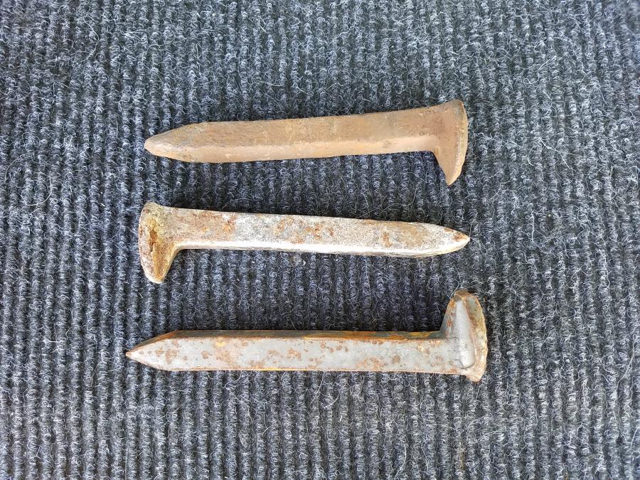
I even found some old railroad spikes. I picked them up and kept them as a souvenir. Not sure what I’ll do with them yet.
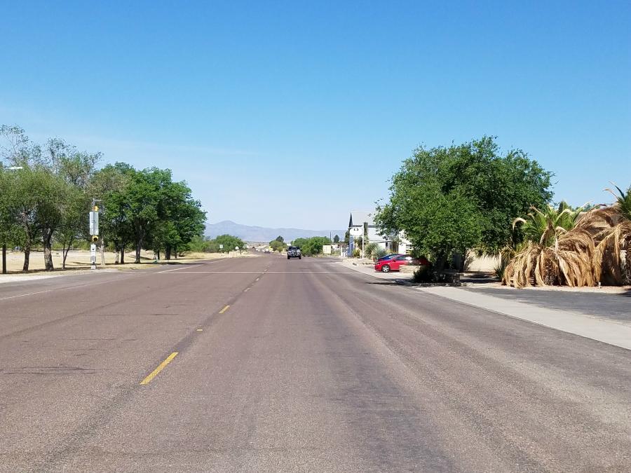
Continuing west on US 90, I came across the Target store in Altuda.
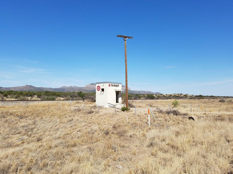
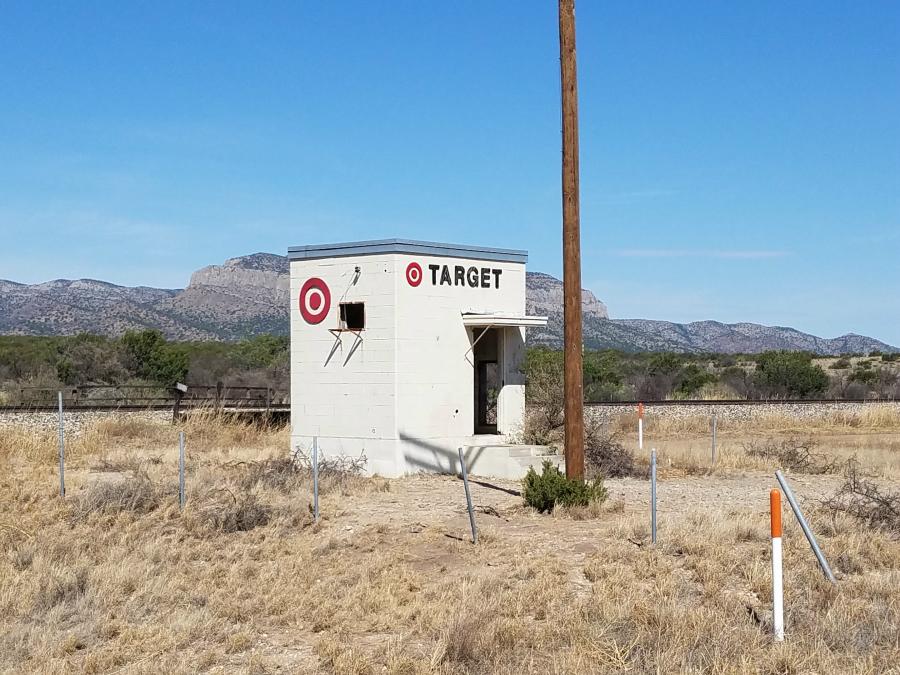
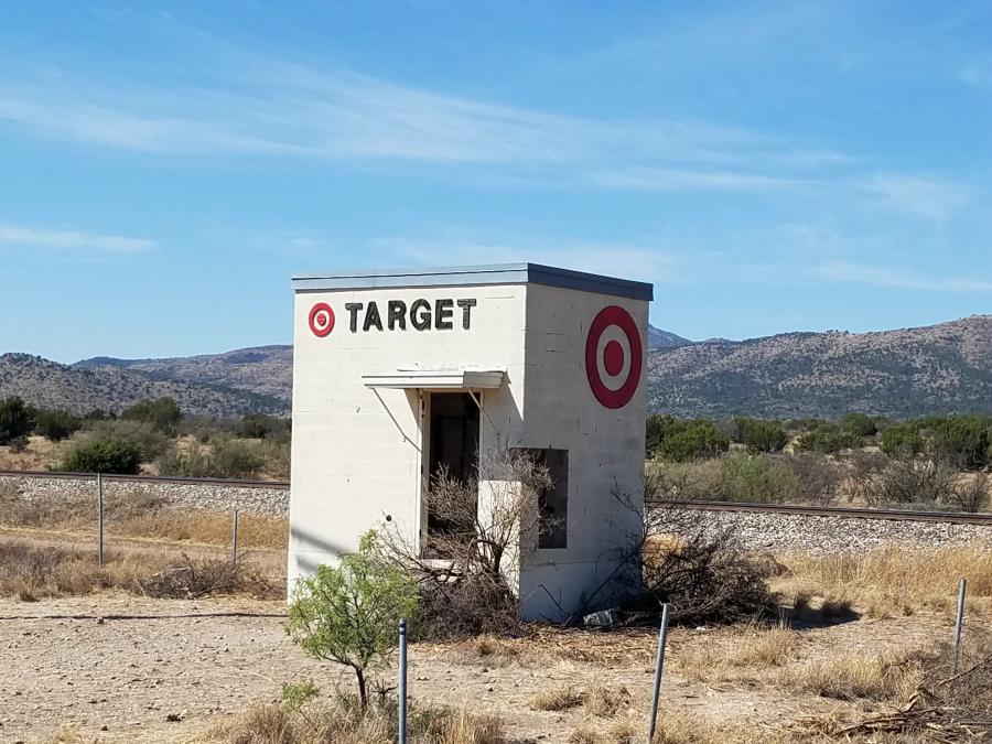
Easy in and out with no waiting. There are no words for the customer service, and the bathroom is very spacious.
Continuing west on US 90 took me in to Alpine, where I stopped at the local McDonalds for a quick lunch.
Continuing west on US 90 will bring you to the Marfa Lights Viewing Area.

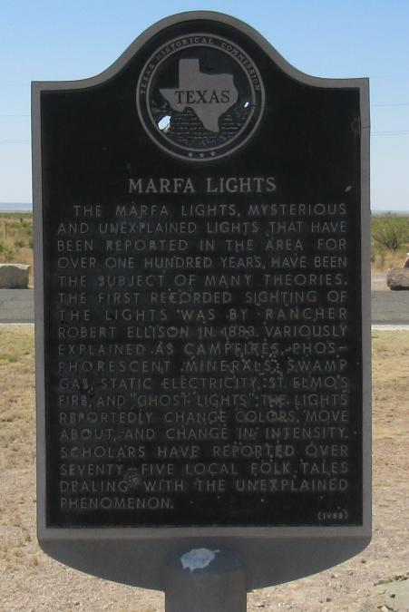
The Marfa lights are mysterious orbs of light that suddenly appear above the desert foliage. These balls of light may remain stationary as they pulse on and off with intensity varying from dim to almost blinding brilliance. Then again, these ghostly lights may dart across the desert…or perform splits and mergers. Light colors are usually yellow-orange but other hues, including green, blue and red are also seen. The lights usually fly above desert vegetation but below background mesas.
The earliest report commonly cited for the observation of the Marfa Lights is that of cowboy Robert Reed Ellison in March 1883. This was while he was herding cattle through the Paisano Pass southwest across the Marfa plain. The lights were next reported in 1885 by Joe and Anne Humphreys.
To this date, there has been no scientific explanation for the lights. Some think they’re lights from distant vehicles, but the sightings date back before car lights. So that doesn’t fully explain it.
Retired aerospace engineer James Bunnell believes the Marfa Lights are the result of the igneous rock under Mitchell Flat that creates a piezoelectric charge (i.e., electricity produced under pressure by solid matter such as minerals, crystals or ceramics). Bunnell lists 34 Marfa lights sightings from 1945 through 2008. Monitoring stations were put in place starting in 2003. He has identified “an average of 9.5 MLs (Marfa Lights) on 5.25 nights per year”, but thinks the monitoring stations may only be finding half of the MLs in Mitchell Flat.
Still others speculate the Marfa Lights may be caused by the same gases that create the glowing lights associated with swamp gas: phosphine (PH3) and methane (CH4). Under certain conditions, these gases can ignite when they contact oxygen. Though the Marfa Lights are nowhere near a marsh, there are significant reserves of oil, natural gas and other petroleum hydrocarbons in the area, which could include methane in quantities capable of producing an effect similar to that created by swamp gas.
I did not come back at night to look for the lights. It seems to be hit or miss as to whether you’re actually going to see them. This would be a good place to go if you were going to be in the area for a few days. There’s a good size parking area here, and it sounds like some people that come to see the lights, stay the night in the parking area.
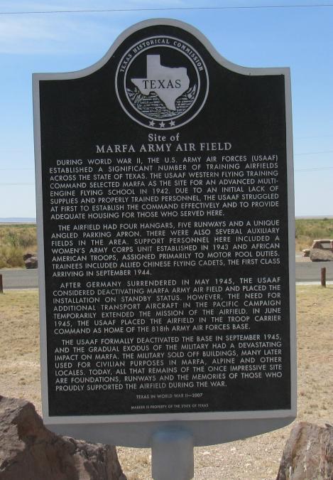
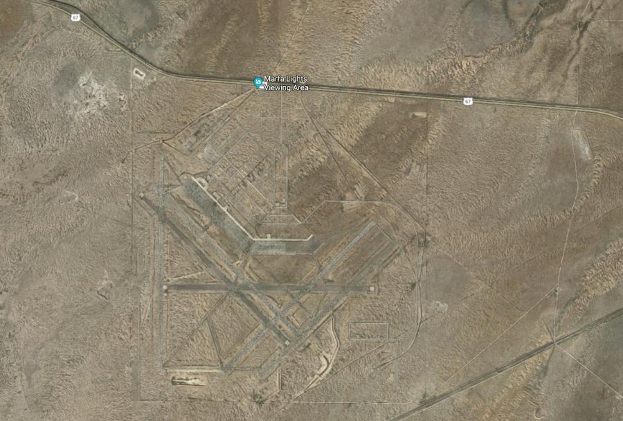
I find it bizarre that the Marfa lights viewing area is at the edge of an old Army Air Field. It just seems like weird lights at night and an old military base should go hand in hand. But as mentioned earlier, the lights were seen well before this air field was ever built. The Army air field was in operation from 1942 to 1945.
You can see the roads, runways and building sites of the old air field on Google maps satellite view.
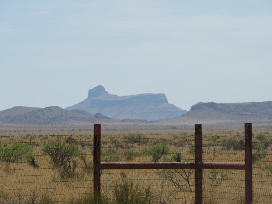
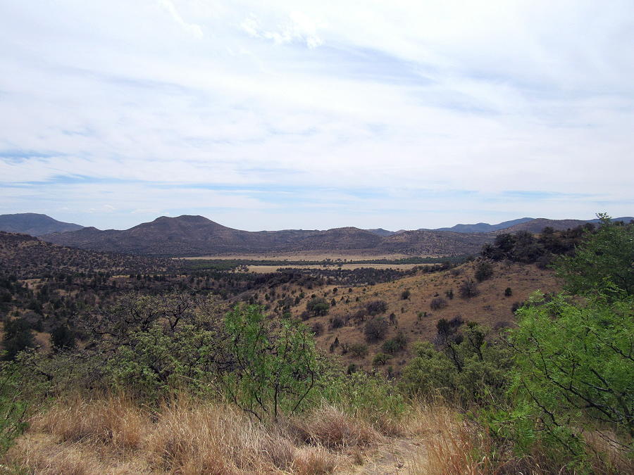
Other things of interest in this area is Paisano Peak, (the mountain below), which is in the collapsed crater of the Paisano Volcano. The Paisano Volcano erupted about 35 million years ago.

And Cathedral Mountain
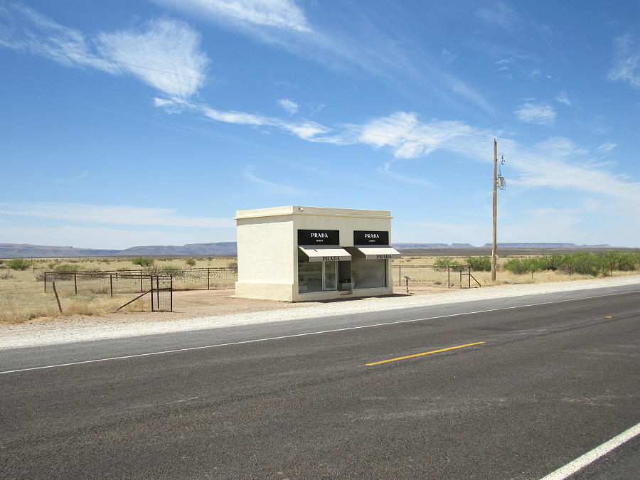
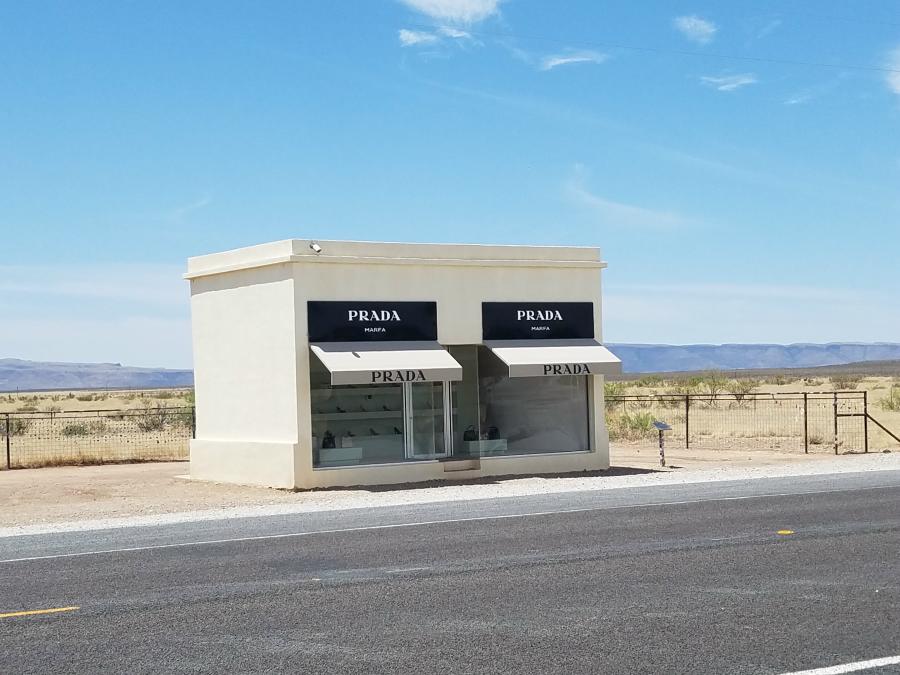
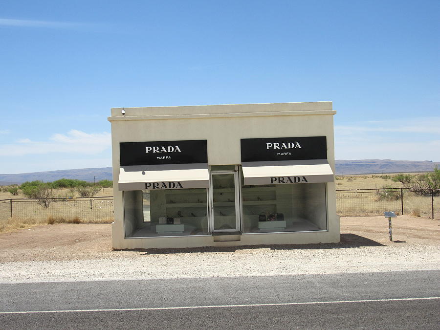
Leaving the Marfa Lights Viewing Area, I continued west in to Marfa. Nothing got my attention there, so I continued my journey west looking for the famous Marfa “Prada Store” in the middle of nowhere.
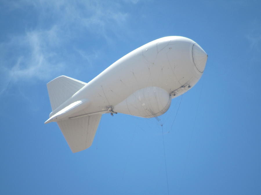
As I was heading west on US 90, I saw a white object in the sky. As I got closer, I noticed that it looked like a blimp, but didn’t have any markings on it. I realized that it had a line on it that had it anchored to a facility below. I read the sign at the gate as I passed, and then did a quick online search for information.
I found that the ‘blimp’ is a Tethered Aerostat Radar System (TARS), and is equipped with a 2,200-pound radar that can detect any low-flying aircraft within a 200-mile range. One of eight of the Border Patrol’s “eyes in the sky” spanning the southern border of the U.S.—three of which reside in Texas—its purpose is to catch any narcotics that might be traveling across that dividing line. If you look at the photo below, you can vaguely see the line to the left of the white tower. When the TARS comes down, the nose of it docks inside of the white cone on the tower.
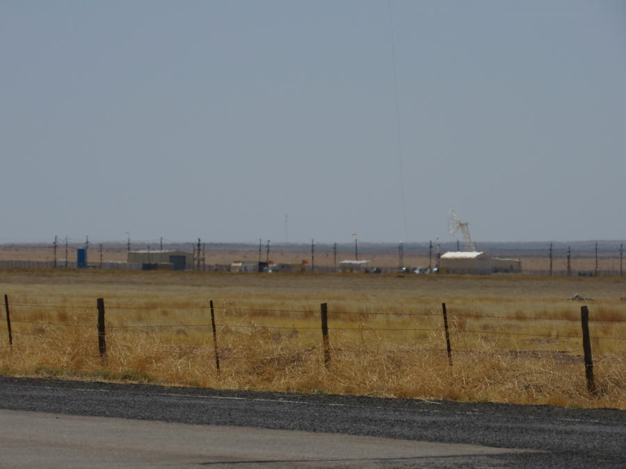
There’s actually a picnic area just past this station, so I was able to pull off, walk Marley, and take this photo of the Tethered Aerostat Radar System (TARS):
After travelling a little further west, I finally came to the Prada store. Let me quickly point out that it’s not a real store. It’s intended to be art. I don’t know why it’s called Prada Marfa. It’s about 36 miles west of Marfa, and just west of Valentine.
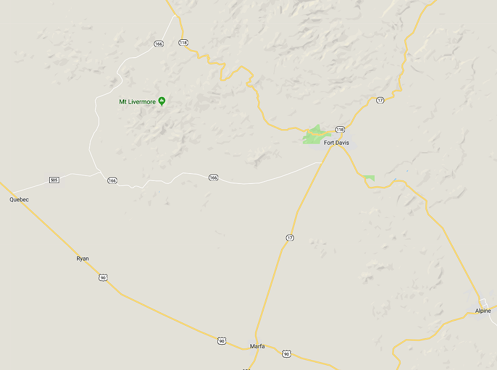
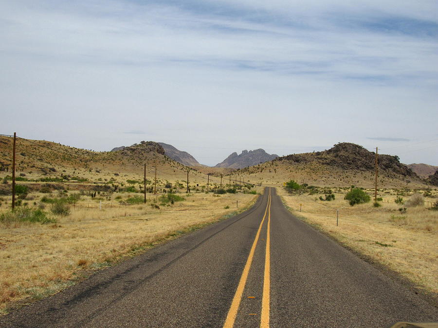
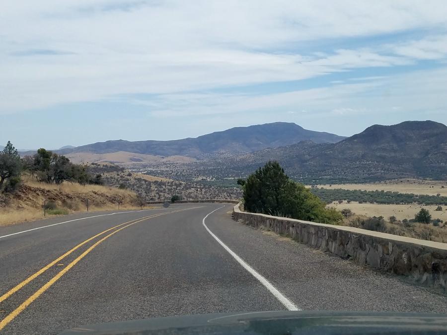
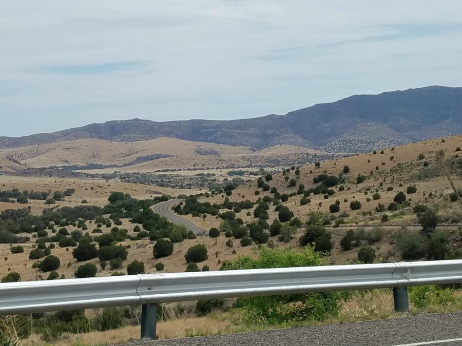
I headed back east on US 90 to Quebec, and then took FM 505 to SR 166. I turned north on SR 166 to SR 118, and then headed east on SR 118 to Fort Davis. This is a beautiful route if you’re looking for a scenic drive.
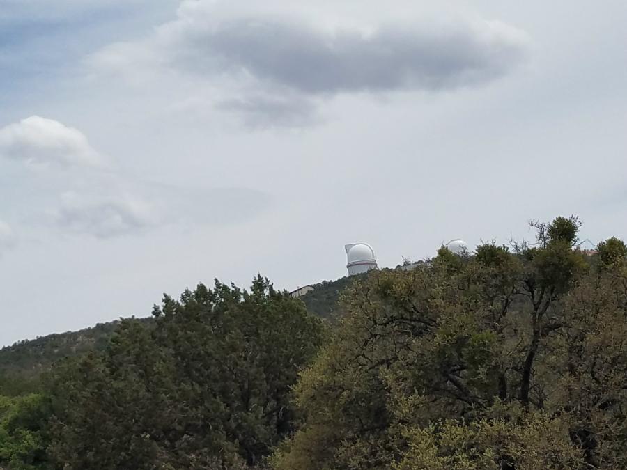
Traveling on SR 118 will take you past the McDonald Observatory west of Fort Davis. The McDonald Observatory is a research unit of The University of Texas at Austin, and is one of the world’s leading centers for astronomical research, teaching, and public education and outreach. For more information, visit http://mcdonaldobservatory.org/.
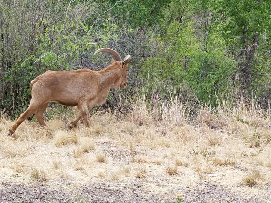
When I arrived in Fort Davis, I headed north on SR 17, and passed this Bighorn Sheep just north of Fort Davis.
I continued on SR 17 to IS 20. I hadn’t seen any other places on the map that I wanted to visit, so I decided to head east on IS 20 and head home.
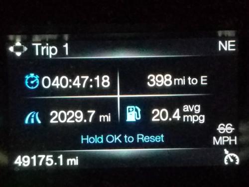
According to my Ford Expedition, I was on the road for 40:47 hours, and traveled 2,029.7 miles with an average MPG of 20.4 Miles Per Gallon. I had seen the MPG average go above 21 MPG, but travelling above 70 MPH on the interstate caused it to drop.
I feel like I’ve gotten a pretty good feel for Texas since moving here in November 2016. From this point, my trips inside Texas may be more specific.
Thanks for following along, and allowing me to share!
Links:
My ‘Expedition’ Through Texas – Main Page
My ‘Expedition’ Through Texas Day – 1
My ‘Expedition’ Through Texas Day – 2
My ‘Expedition’ Through Texas Day – 3
http://mcdonaldobservatory.org/