
Roadtrip 2017 – Exploring The West – Day 15 – July 24th:
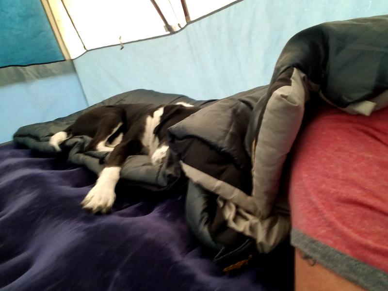
I woke up to Marley laying against me on my sleeping bag. I’d let him lay close to me to stay warm back when we were camping in Colorado. It wasn’t cold here, but I think he had become spoiled.

I got up, got a shower, and then got everything packed up. After a quick breakfast and taking Marley for a walk, we were on our way.
We made it to Fremont Motors (Ford Dealer – Cody Wyoming) just after the service department opened. There was a small line of people dropping off their vehicles for service appointments. When it was my turn, I explained what my truck have been doing the day before, and asked if they could squeeze the truck in for service. I was hoping that since all I needed was the fuel filters changed, they would be able to squeeze it in and get it done. They took my keys and invited me to bring Marley in to the customer lounge. Within 30 minutes they had my truck in the shop. Within an hour after that we were back on the road.
The mechanic told me that there was some crap in the filter, and water in the separator, but couldn’t say if he thought that’s what my problem could have been. Irregardless, I felt better knowing they had been changed.
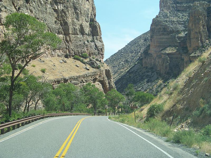
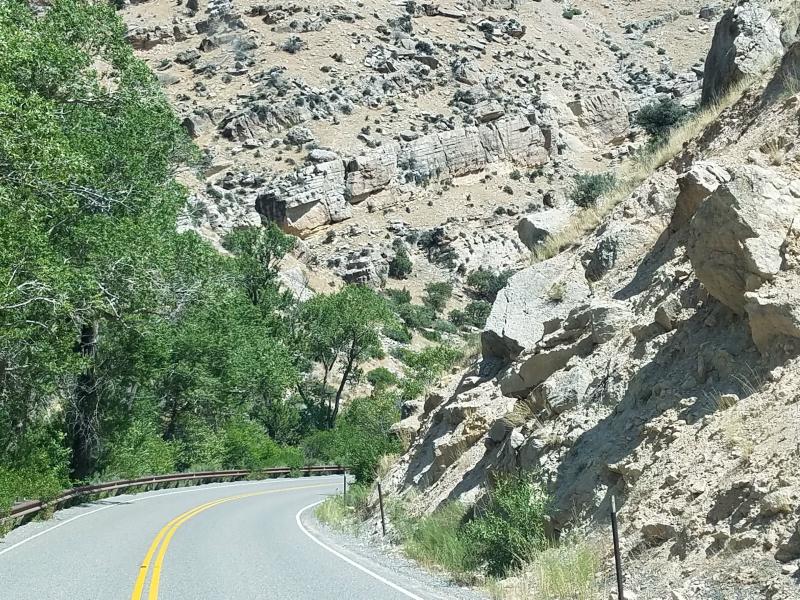
We left Cody and headed east on US 14. I hadn’t been on the road very long before the ‘Drive to clean exhaust filter’ message came on. It went through it’s complete cycle, and if I recall correctly, it would actually do it twice today. Also, all of the fuel I had found in Oregon and Washington had been bio-diesel, which isn’t good for the 6.4L. So it’s anyone’s guess what the problem could stem from. Fortunately, it was running fine now.
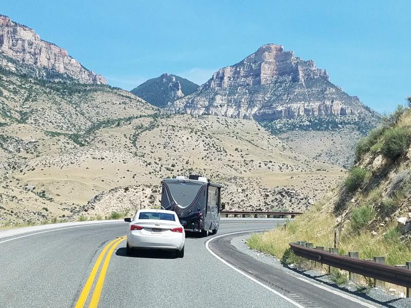
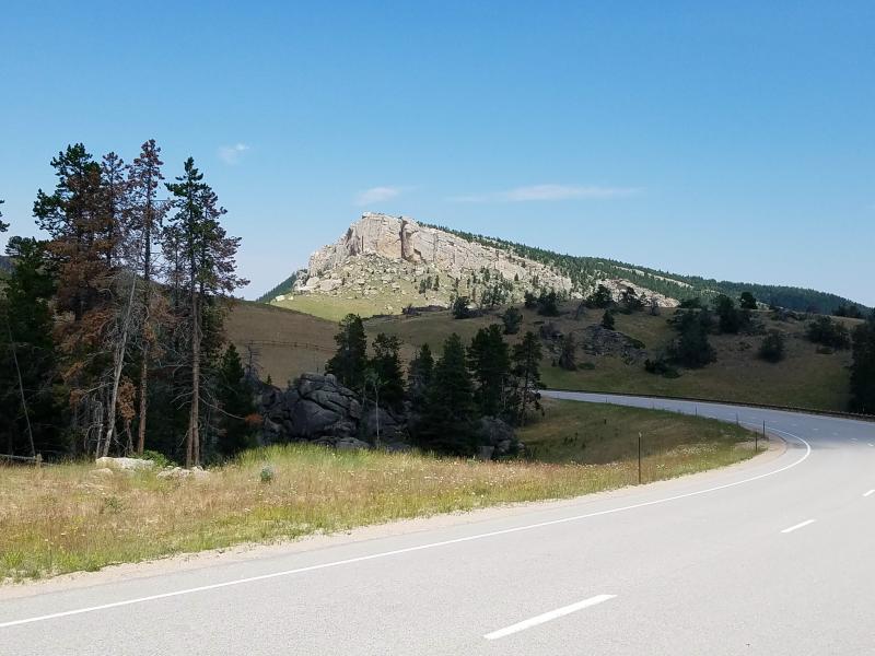
Crossing the wide open areas of Wyoming can be quite boring.

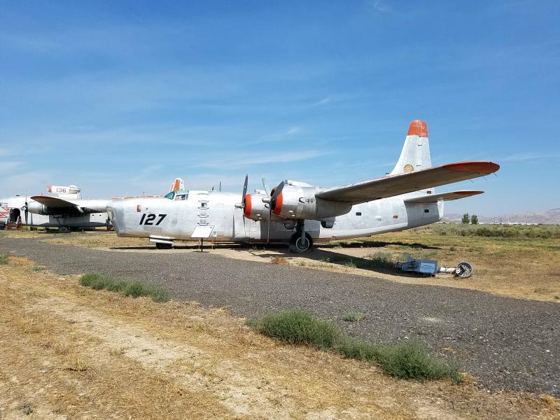
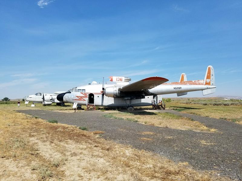
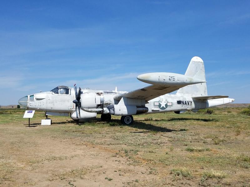
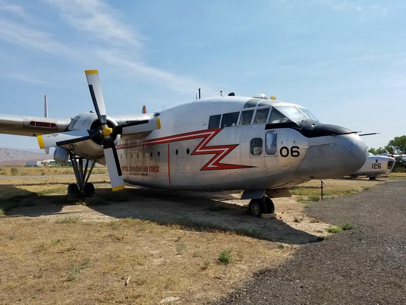
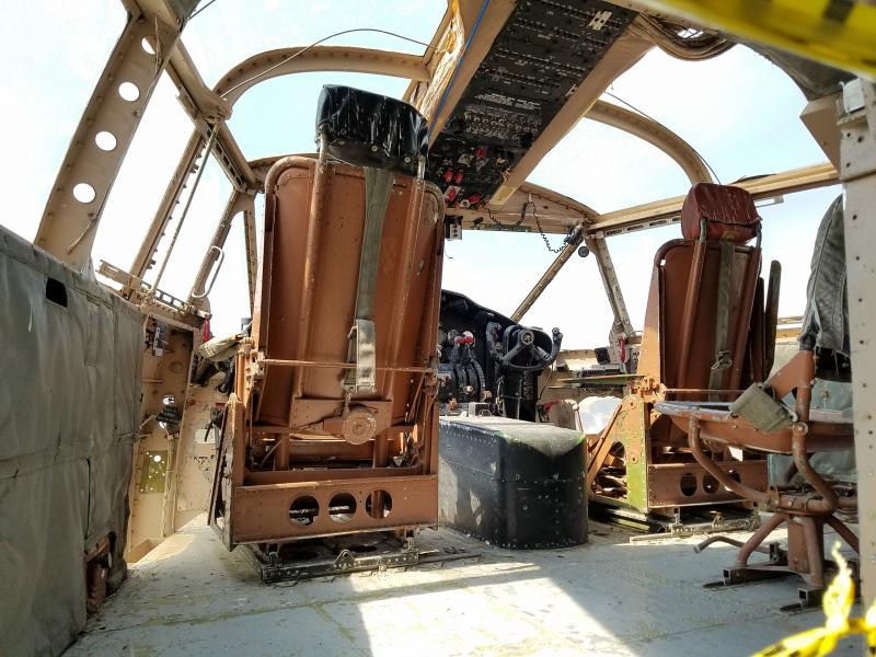
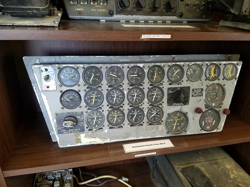
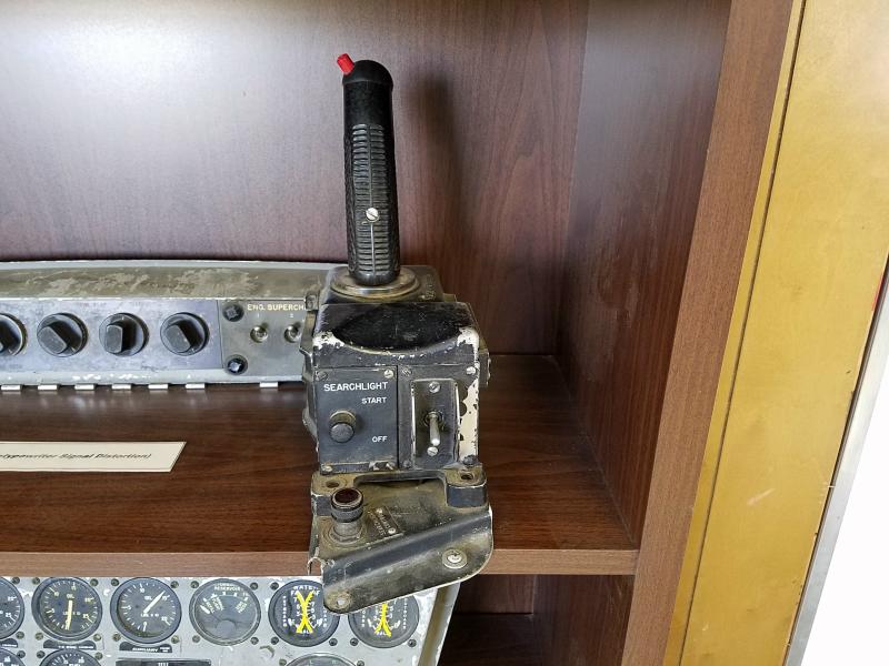
We eventually came to a rest area just before Greybull Wyoming. As I approached, I could see some old airplanes parked behind it, so I decided to stop and look. The Museum of Flight & Aerial Firefighting is situated right behind the rest area. You actually enter it from a gate in the rest area fence. The gate leads to a small building where you pay a small fee, and can view a variety of aviation photos, instruments, controls, and even engine parts on display. There’s also maps, articles and a variety of information on aerial firefighting.
From there, you exit through a different door that takes you out to where the planes are parked.
For many years Hawkins & Powers Aviation, Inc. conducted firefighting operations from the air strip behind this location. They also repaired active Air Force aircraft under a civilian contract. In 2002, a Reno, Nevada television station capturing footage of the wings separating from a Hawkins & Powers C-130A before it crashed near Walker, California. Just a month later, a PB4Y-2 owned by Hawkins & Powers lost a wing and crashed while fighting a fire near Estes Park, Colorado. As a result, the Forest Service grounded some of the firefighting planes. Some were later re-certified, but Hawkins & Powers Aviation, Inc. did not continue firefighting, and circumstances forced the company to sell its assets through an auction.
Fortunately, the aviation museum (founded in 1987) is still here. You can also still see dismantled C-130’s and other aircraft in a bone yard behind the museum from the Hawkins & Powers days. The bone yard is off limits and not part of the museum tour.
These planes have been used in aerial firefighting;
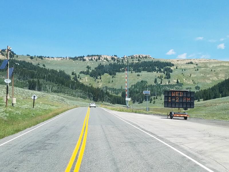
We continued east on US 14 in to the Bighorn National Forest. Note the railroad crossing style gate in the photo below. They’re used to close the roads, and it’s not uncommon to find these gates throughout Wyoming.

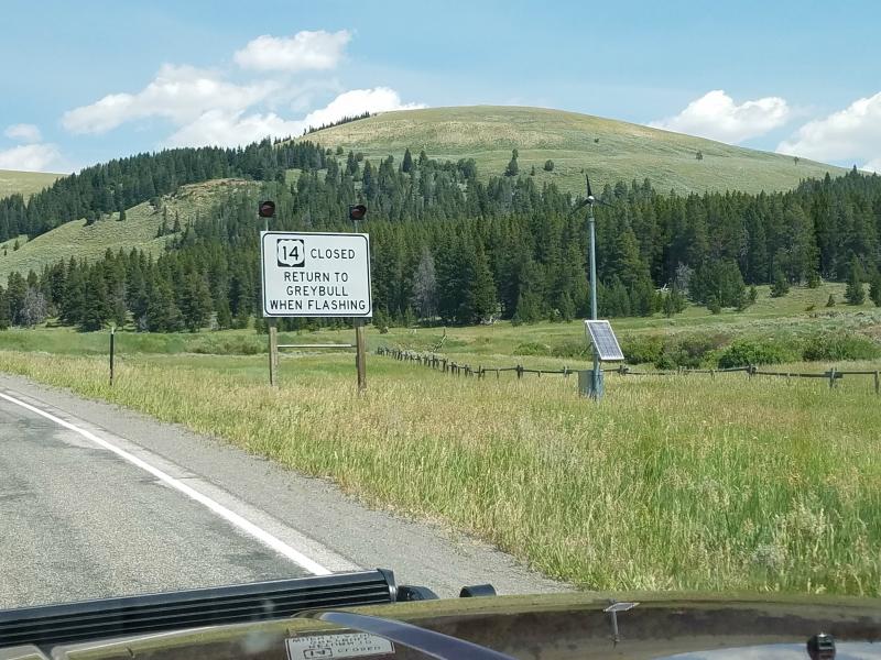
We stayed on US 14 until we got to Gillette Wyoming, and then had to take IS-90 east for roughly 20 miles to get to US 16.
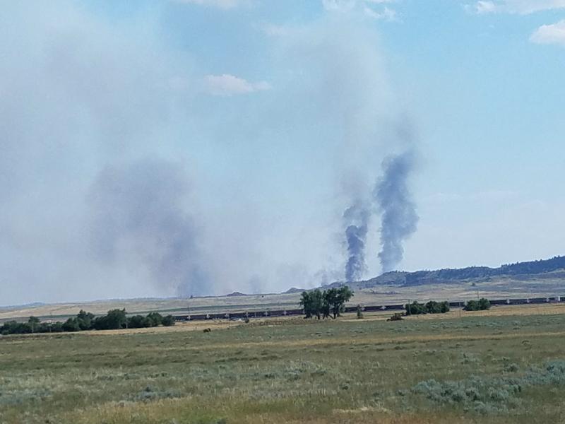
I spotted some brush fires to the south…
When we got to Moorcroft we exited IS-90 on to US 16
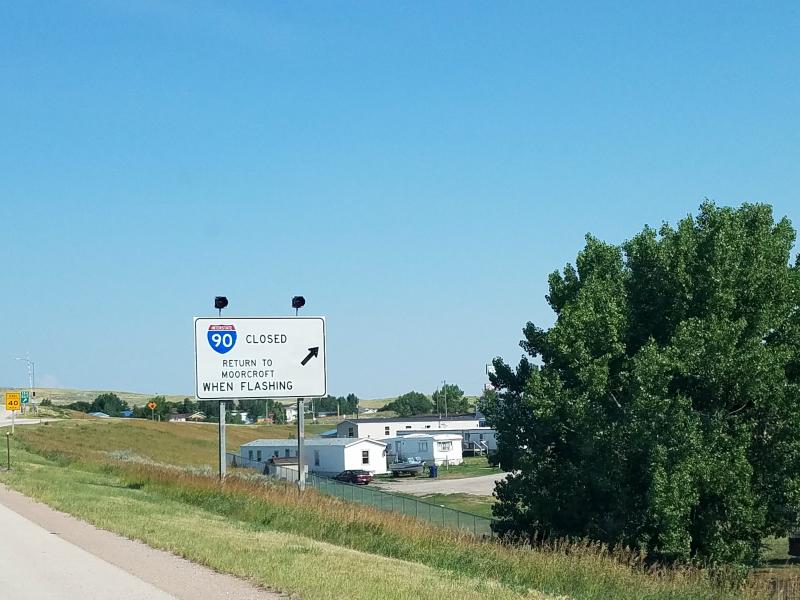
Notice the signs in the photos above and below? Get the feeling you could get stuck in Moorcroft?

Fortunately, we were not. We followed US 16 east to South Dakota.
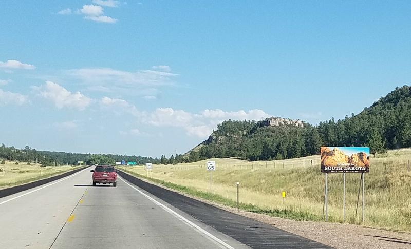
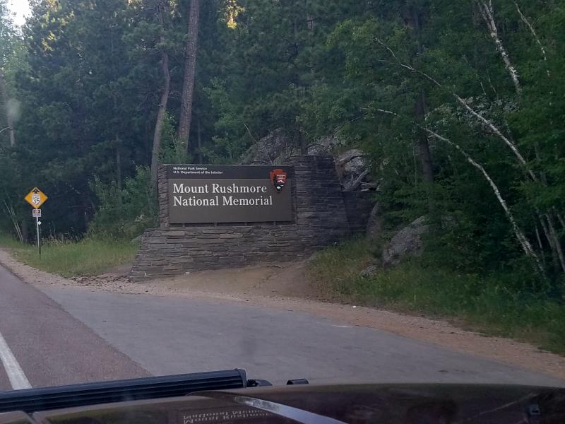
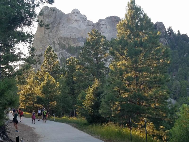
When we got to Custer, we went north on US 385, and then east on SR 244 to the Mount Rushmore National Memorial.
Even though the sun was beginning to set, I found a shady spot to park, and then walked Marley for a few minutes. I made sure he had food and water before leaving him to enter the actual viewing area.
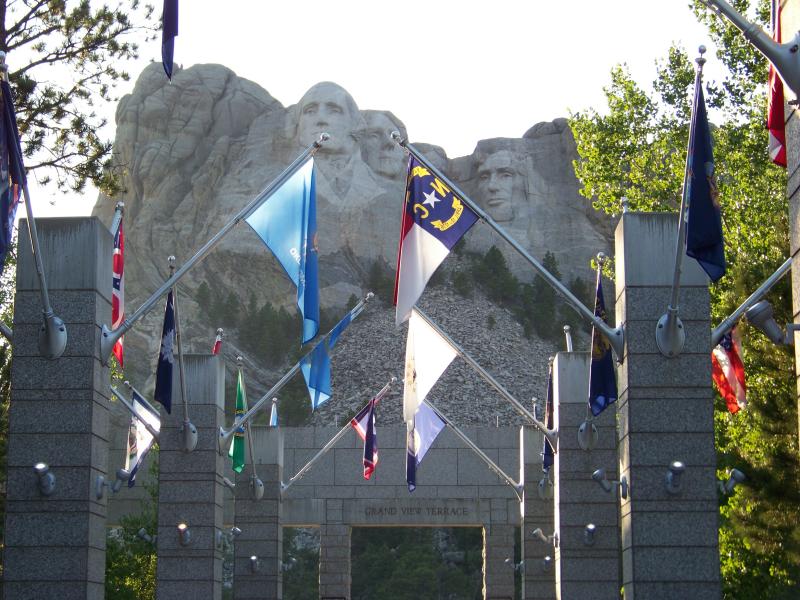
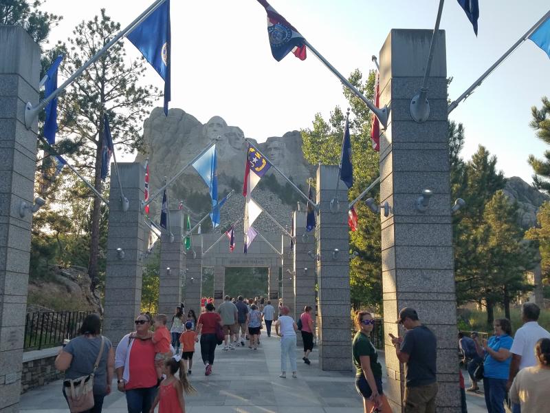
The flags of the 56 states and territories line the Avenue of Flags. The avenue provides direct and easy access to the Grandview Terrace and Presidential Trail, a half-mile walking trail that offers spectacular views of the mountain sculpture. There is also a cafeteria, ice cream stand, and a gift shop here. I had dinner in the cafeteria.
Here’s an interesting fact:
Some, including the U.S. Supreme Court, think the U.S. stole the Black Hills. In 1868, long before the carving began, the U.S. government promised in a treaty to let the Sioux Nation tribes keep the Black Hills, including the Rushmore area. But in 1874, gold was found in those hills (and confirmed by Lt. Col. George Custer). After that, the U.S. government and prospectors grabbed back the land and forced the Lakota elsewhere. On July 23, 1980, the U.S. Supreme Court found that land grab unconstitutional and ordered federal compensation of more than $105 million to the Sioux to settle the case — but Native American leaders said they’d rather have the Black Hills. It’s still unresolved.

Presidential Trail;
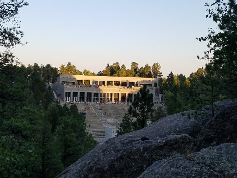
This (below) is looking from under the monument, back towards the Grandview Terrace. The walkway with the flags bring you to the upper level. There’s steps and an elevator that will take to to the lower level where there’s a museum and amphitheater. You can see people already getting seated in the amphitheater for the nightly lighting ceremony.
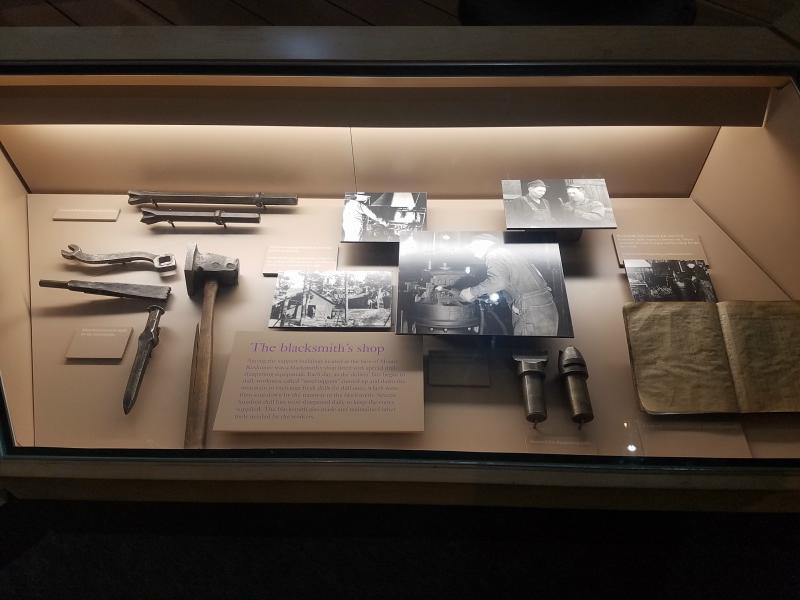
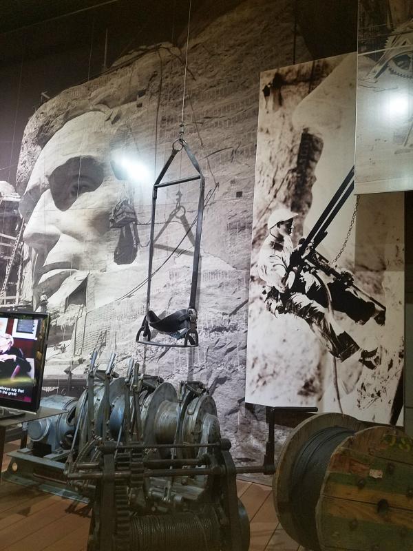
The museum displays tools and equipment used to create the monument. It also has a large variety of photos that show the construction process as well as some video presentations.
To see the rest of my Mount Rushmore photos click HERE.
I did stay to see the monument lit up before leaving. I went out and checked on Marley first though. Once it was lit, we left and headed north on US 16A to US 16 east. That took us to a Flying J truck stop at IS 90 where we stopped for the night.
Tomorrow we head back towards Colorado.
Links:
Roadtrip 2017 – Exploring The West – Main Page
Roadtrip 2017 – Exploring The West – Days 16, 17 & 18
Roadtrip 2017 – More Photos of Mount Rushmore
About The Author
Growing up, my father always believed that every family needed a truck—there’s just something about having a vehicle capable of hauling anything at a moment’s notice. That philosophy stuck with me, and it’s been the foundation of my lifelong passion for Ford trucks.
While I’m best known for my work with Ford Rangers, I’ve owned a wide variety of Ford trucks over the years—including F-150s, F-250s, F-350s, and even larger rigs like the Ford Excursion, Ford Expedition, and a 1982 Ford Econoline Sportsmobile camper van. I’ve used these vehicles for everything from family transportation to towing car trailers and campers, and each one has fueled my love for Ford’s versatility and durability.
I especially enjoy the styling of 1970s and 1980s Ford trucks—the bold designs, rugged presence, and classic charm are timeless. Sharing my passion for Ford trucks, vans, and SUVs with other enthusiasts online brings me a great deal of joy, and it’s why I created Blue Oval Trucks.
This website is dedicated to helping Ford truck enthusiasts explore, learn about, and celebrate these incredible vehicles. While I share my expertise and experiences here, Blue Oval Trucks is an independent enthusiast site and is not affiliated with Ford Motor Company.